
What's El Niño?
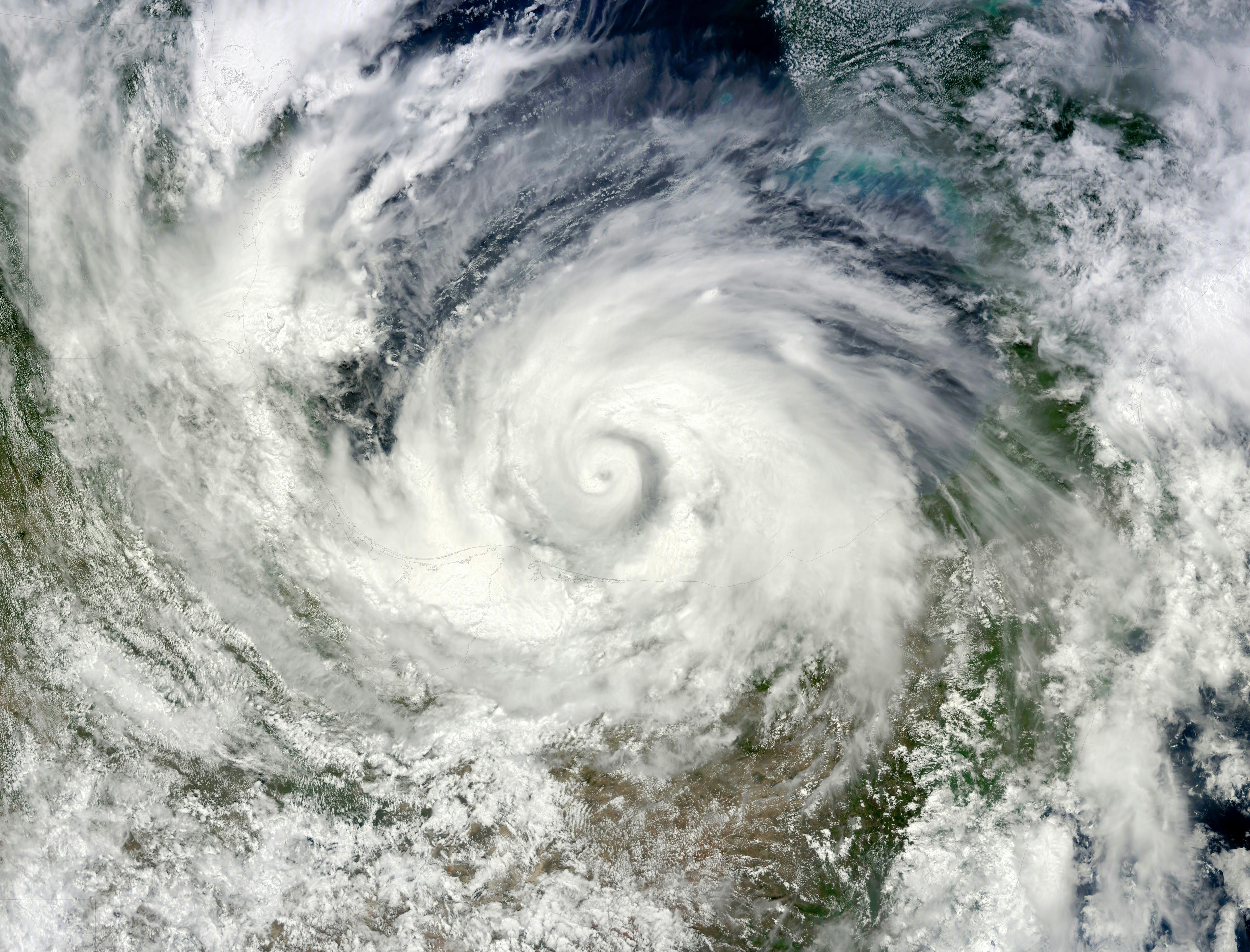
El Niño is a well-known weather phenomenon that forms in the Pacific Ocean and influences weather patterns worldwide. Every two to seven years, El Niño drives drought in some regions and floods in others. El Niño happens regularly, but this year's is on track to be the strongest since record-keeping began in 1950 (sources1,2,3). The Atlantic is already showing it. As of late September, the 2026 hurricane season has gone longer without a hurricane than any year in the satellite record, according to NOAA's Weather Prediction Center. El Niño's wind shear is tearing storms apart before they can strengthen.


Global picture, high-level
The stronger El Niño is, the more severe the consequences worldwide. Reduced monsoon activity drives drought across Australia, India, and Indonesia.
Cooler ocean temperatures disrupt marine ecosystems, pushing species like tuna into regions they'd normally avoid and hitting the fishing industry.
Heavier rainfall brings flooding with serious consequences for agriculture in South America.
Energy | Europe & North America
If hydro makes up a big chunk of your regional grid, watch the snowpack, not just the headlines. The Columbia River basin, which drives hydropower and irrigation across the inland Northwest, is forecast to run at 70-85% of normal snowpack this winter under the current El Niño. Europe's picture is murkier; forecasters rate confidence in European seasonal outcomes lower than anywhere else, so the safer bet is to watch river and reservoir levels directly rather than bet on a seasonal pattern.
Gas is a genuine open question this winter. Rystad Energy's analysis indicates European winter temperatures would need to be at least 2 degrees Celsius above the historical average before the region's LNG demand could fall to or below last winter's level, and even with El Niño working in Europe's favor, the statistically probable outcome is that Europe still needs meaningfully more LNG than it did last winter. Worth watching, not worth betting on.
The last strong El Niño winter, 2023-2024, played out exactly like that: mild on average, but still hit with a near 40% demand spike in six days during a January cold snap. Averages don't cancel out the risk of a bad week.

Solar and wind don't tell the same story either. Studies show that solar, wind, and hydropower tend to take a hit in certain regions during El Niño years, as cloud cover, wind patterns, and rainfall change, according to WMO's climate and energy lead Roberta Boscolo. A joint WMO, IRENA, and Copernicus report on 2023, a recent El Niño year, found that wind, solar, hydropower, and energy demand all showed significant geographic variability compared to the long-term average, with some regions seeing gains and others declines.
Ask three power providers how El Niño hits their balance sheet, and you'll get three different answers. It depends entirely on what's actually generating their megawatt-hours.
Insurance | Europe & North America
Insurers had a quiet H1. Gallagher Re puts global insured catastrophe losses at $46 billion for the first half of 2026, 28% below the 10-year average. That sounds like good news.
It isn't necessarily. Swiss Re Institute is warning against reading a quiet H1 as reduced risk. As El Niño strengthens through the rest of the year, catastrophe risk is expected to shift away from the Atlantic and hurricanes, toward the Pacific, drought, and wildfire instead. A quiet H1 doesn't mean a quiet year. It just means the risk hasn't shown up yet, or it's about to show up somewhere different.


