Weather Intelligence for National Security and Public Safety
Protect people, operations and infrastructure
Loved by +700 Global Enterprises.

Trusted by National Authorities Worldwide











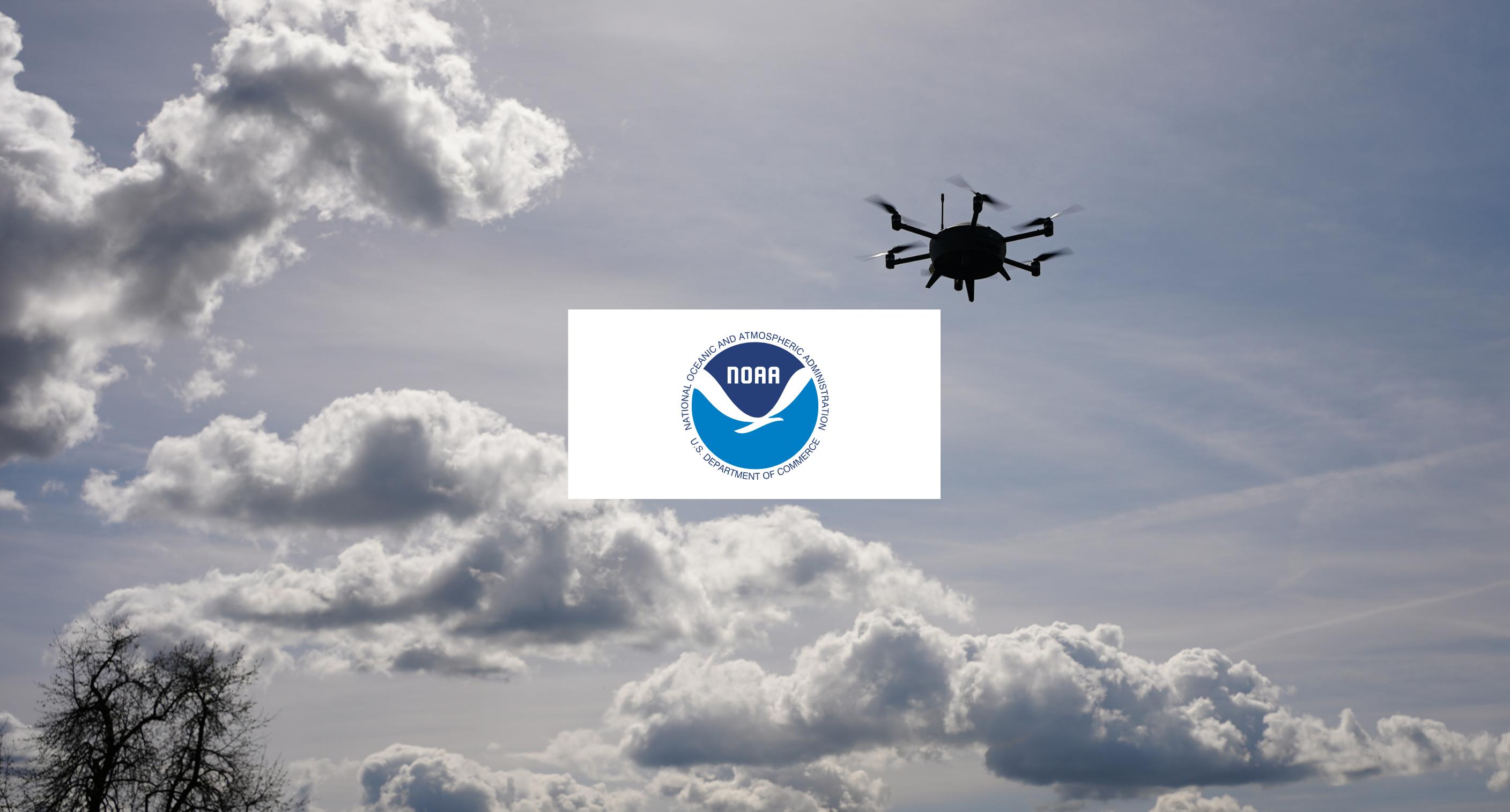
Our mission is to provide weather intelligence that decision-makers can act on. With in-situ measurements from Meteodrones, high-resolution forecasts, and seamless API delivery, we enable earlier warnings, more reliable planning, and stronger protection of people and assets.
Evidence from Research and Operational Use
Independent studies and real-world deployments demonstrate how Meteomatics technology enhances atmospheric observations, forecasting, and mission readiness.




Different Missions, Shared Weather Challenge
National Weather Services
Deliver accurate public warnings and uphold political credibility with timely, accurate, and accessible weather intelligence through Meteomatics’ end-to-end capabilities in data collection, forecasting, and delivery.
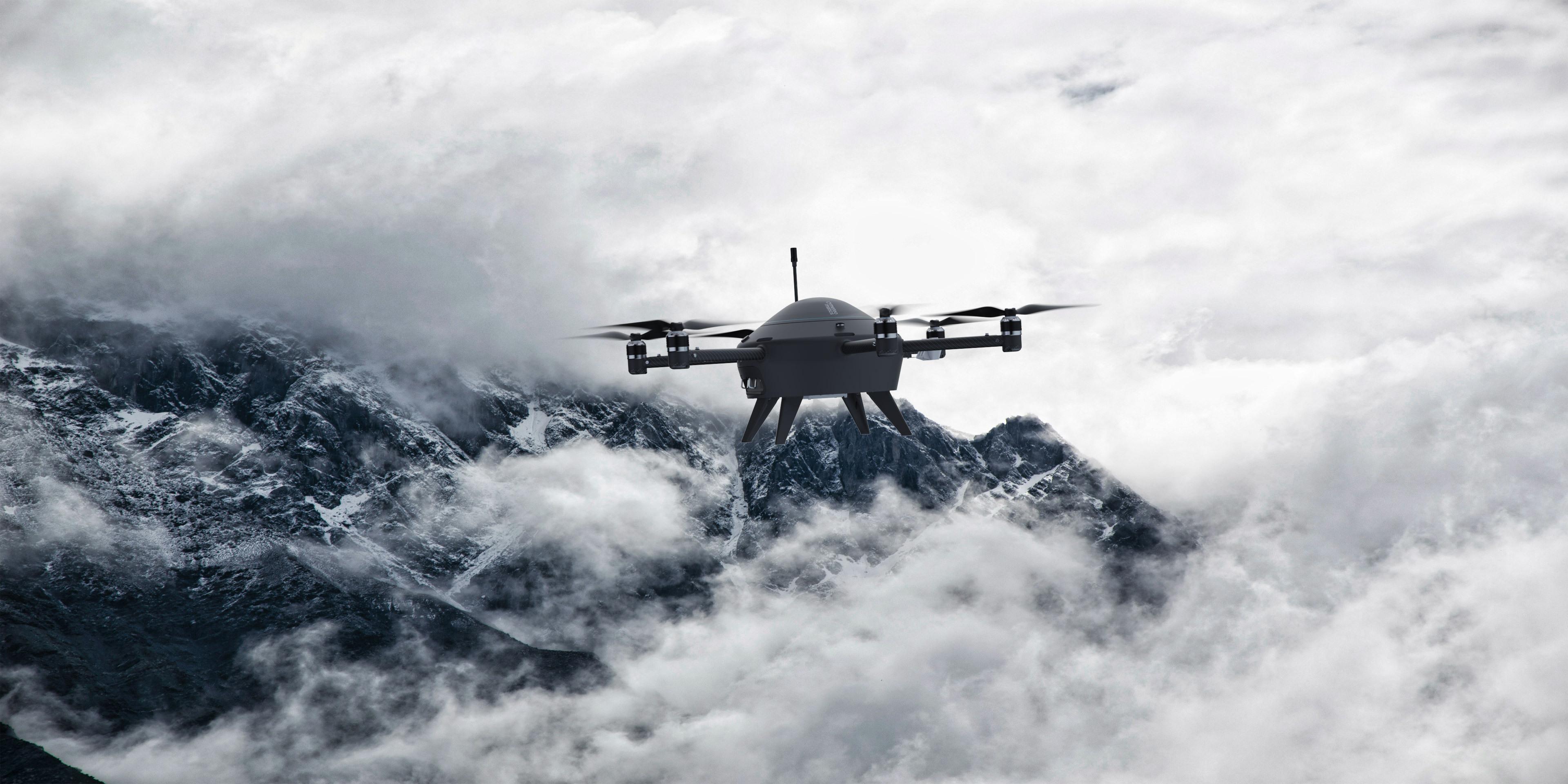
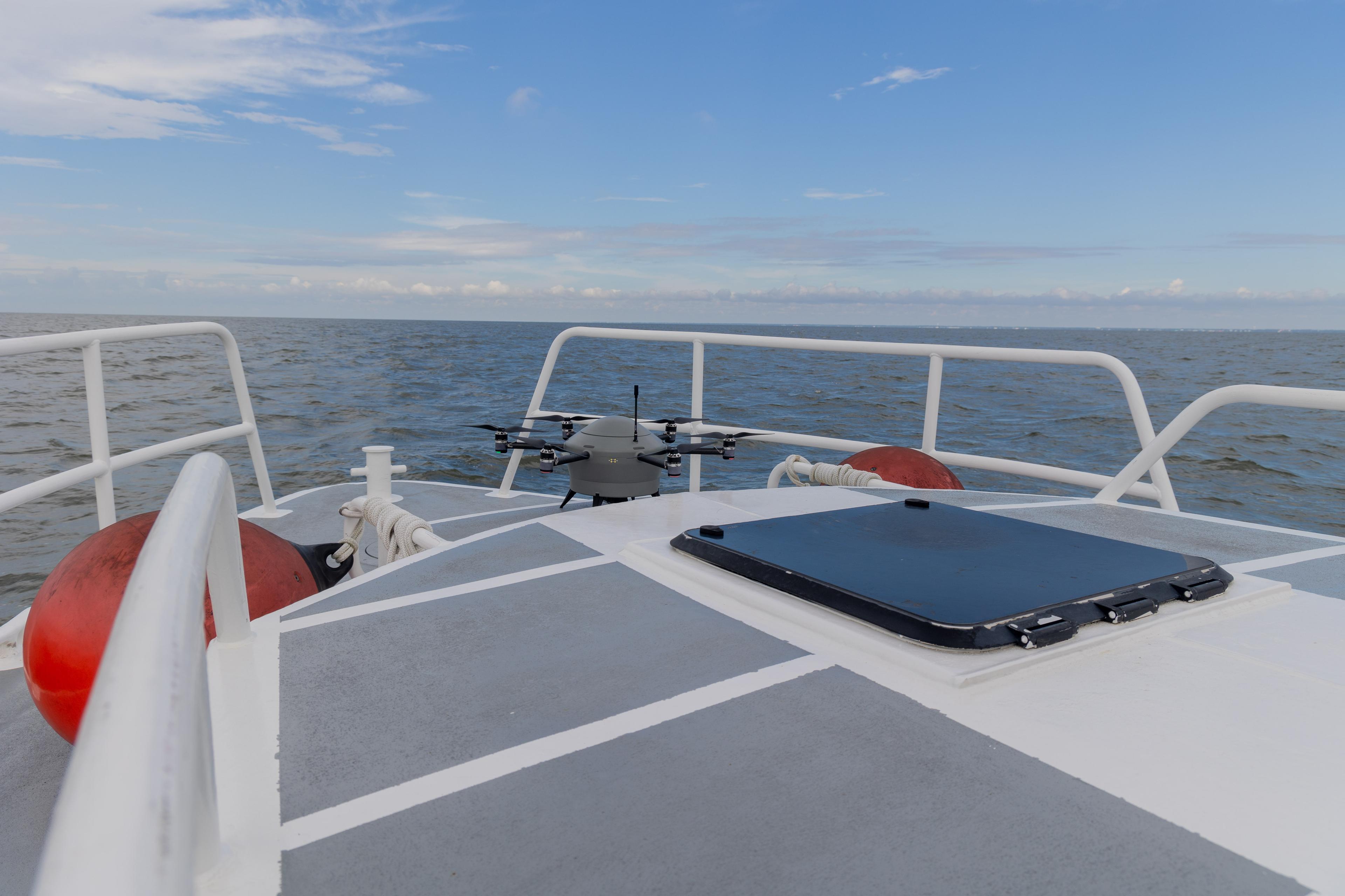
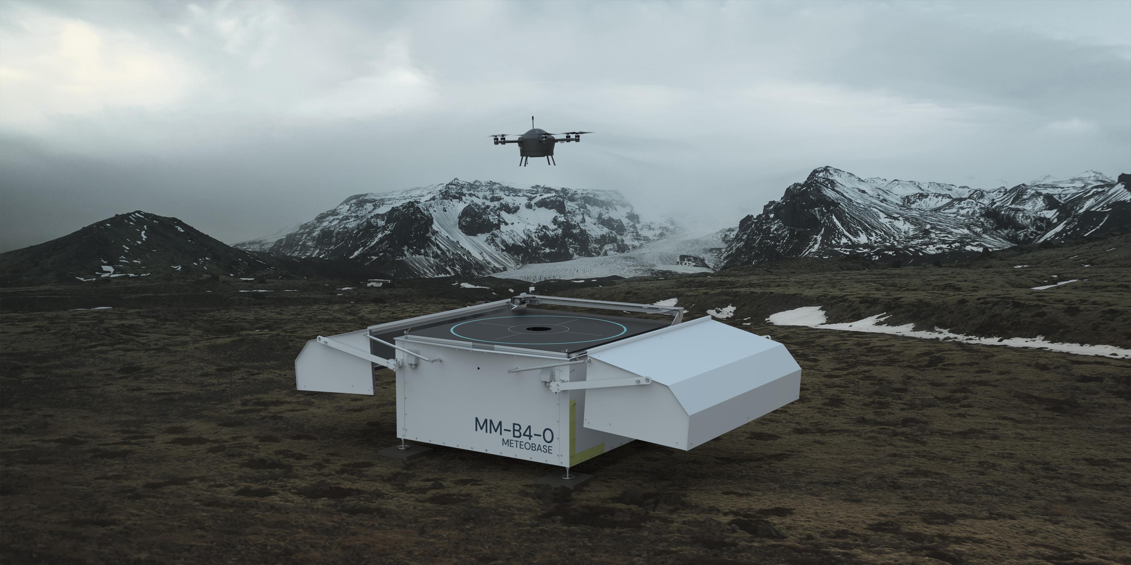
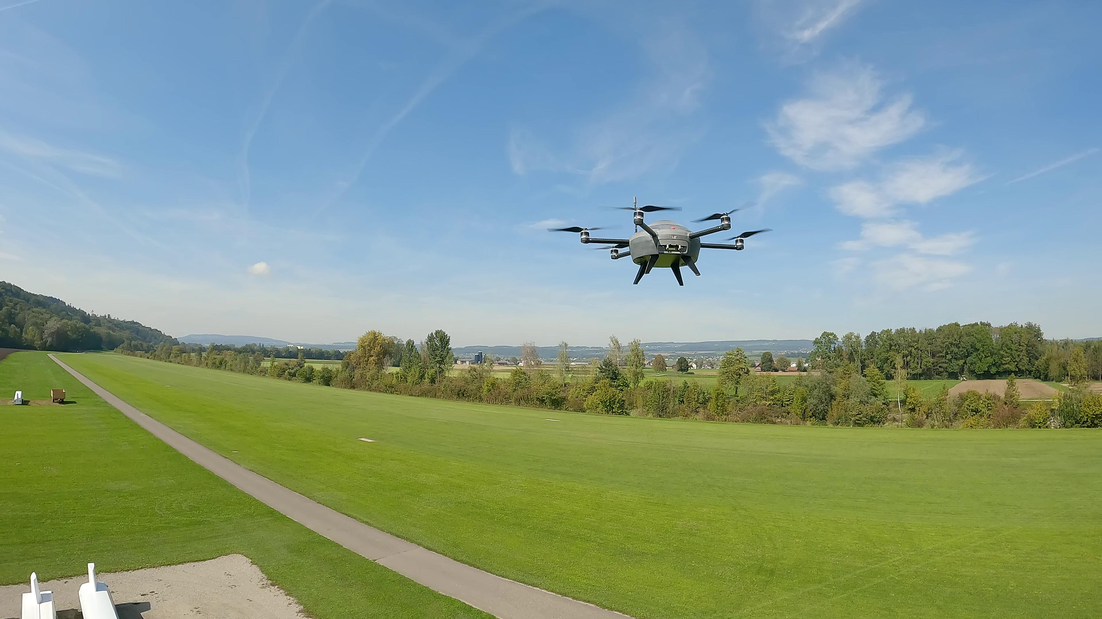
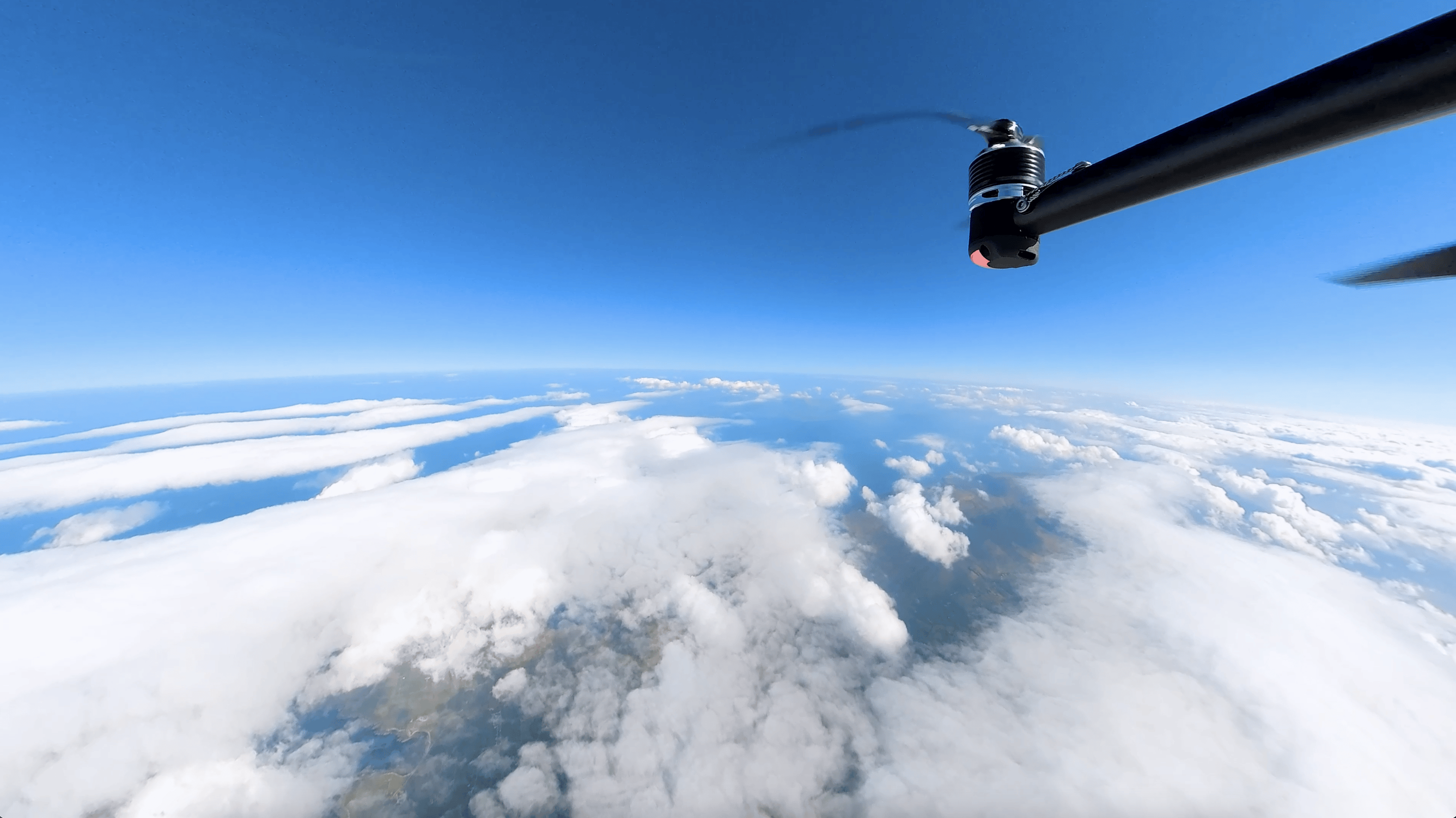
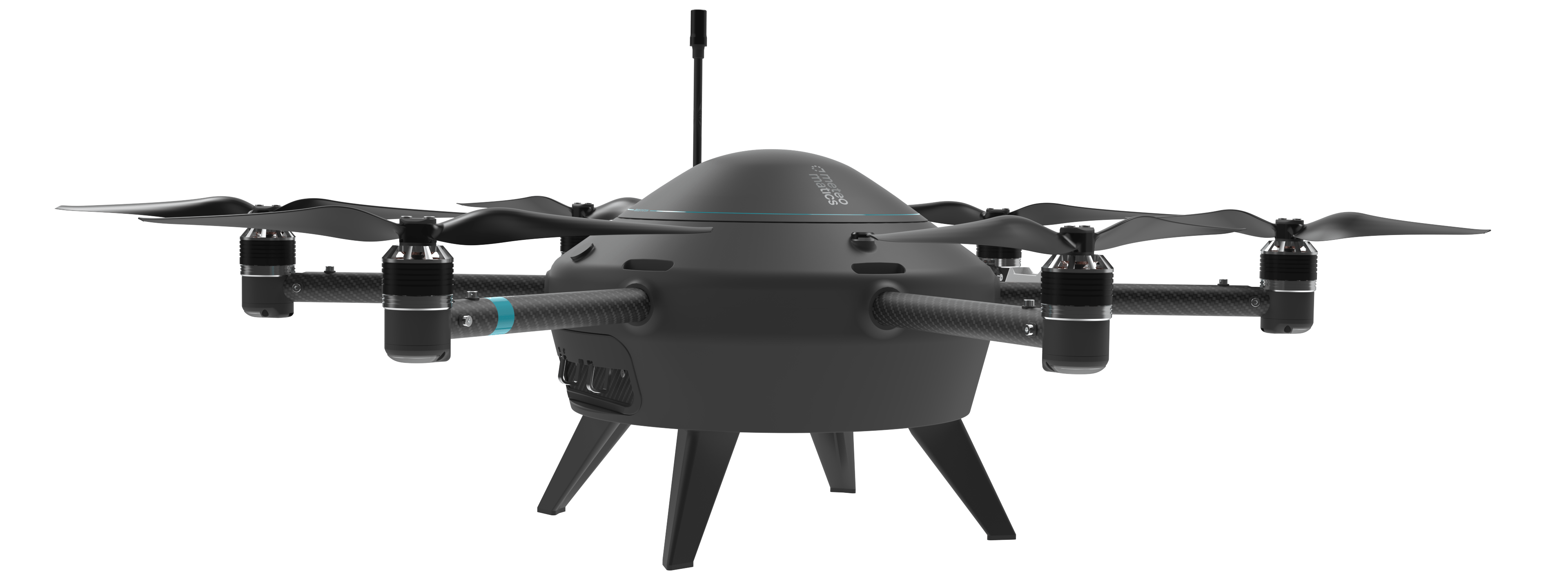
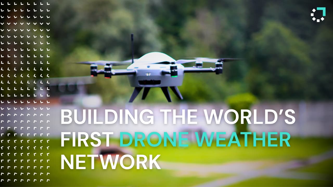
- Meteodrone Networks → frequent high-altitude soundings that complement radiosondes and strengthen national forecast models.
- 1k Weather Models → hyper-local, high-resolution forecasts that improve preparedness for critical events.
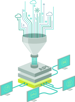
- Weather API → direct, reliable data access that integrates seamlessly into existing systems.
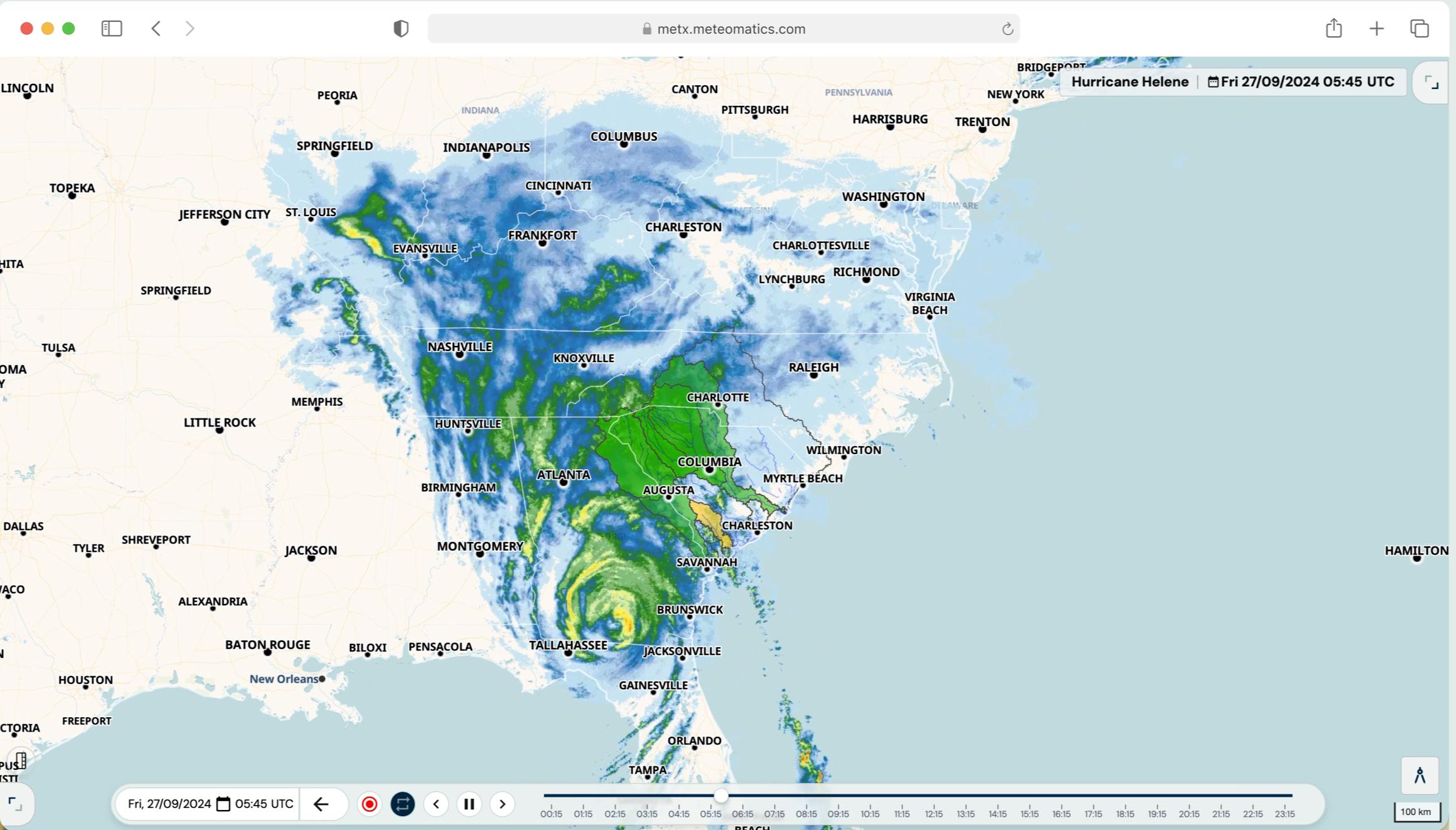
- MetX → fast, professional-grade visualization that supports operational briefings, interagency coordination, and research.
Defense and Security Forces
Increase mission readiness, minimize disruptions, and gain advantage over adversaries through reliable, high-frequency weather intelligence that is directly usable in the field.
- Mobile Meteodrones → rapid vertical profiles in contested or data-sparse areas that improve tactical forecasts and support mission planning.
- 1k Weather Models → hyper-local, high-resolution forecasts that anticipate operational risks and give commanders earlier, more confident decision windows.
- Weather API → real-time and historical weather intelligence integrated into command-and-control systems for uninterrupted situational awareness.
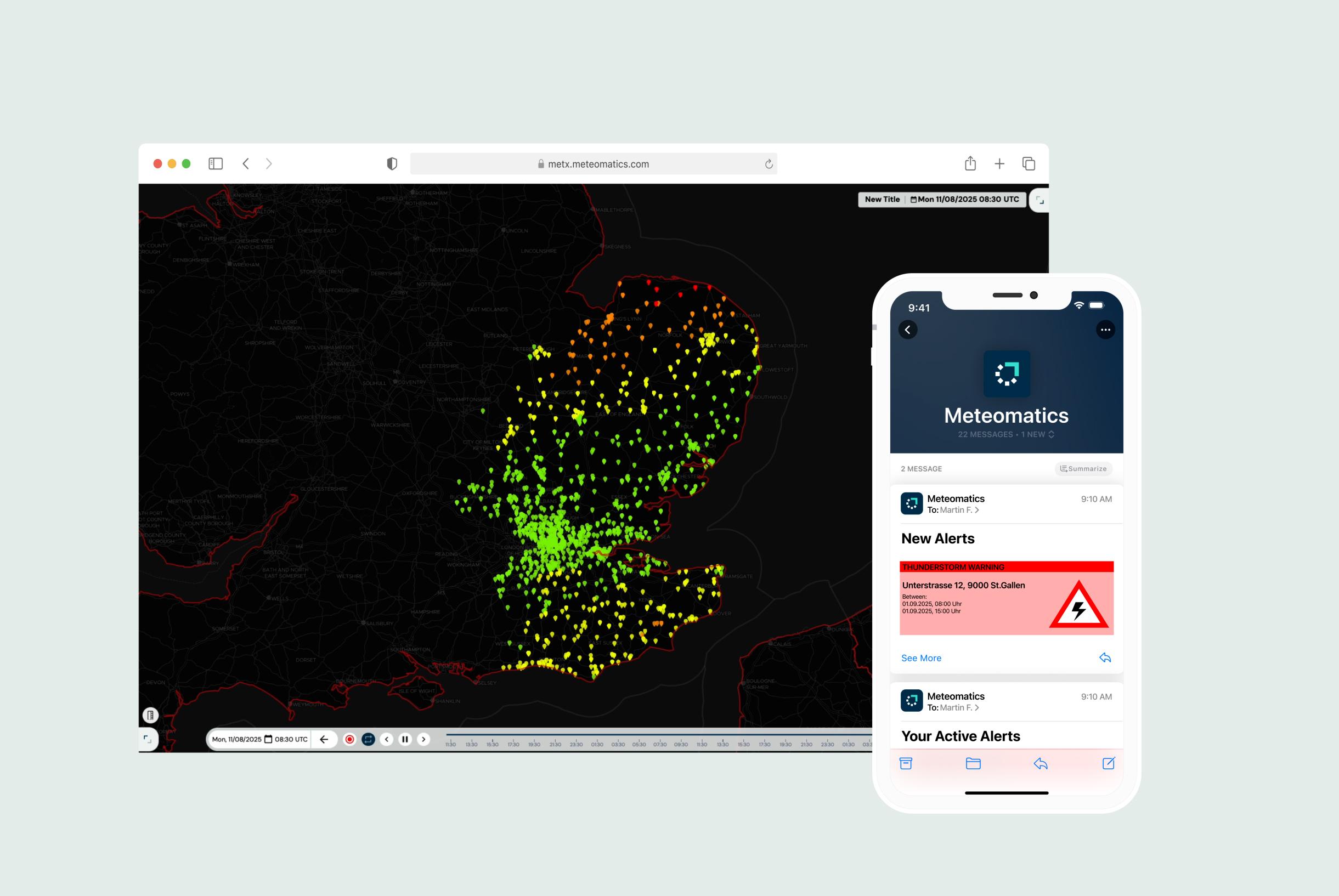
- MetX → fast, mission-ready visualization tools to brief commanders, synchronize units, and support rapid response.
Meteomatics's Modular, Integrated Technology Stack
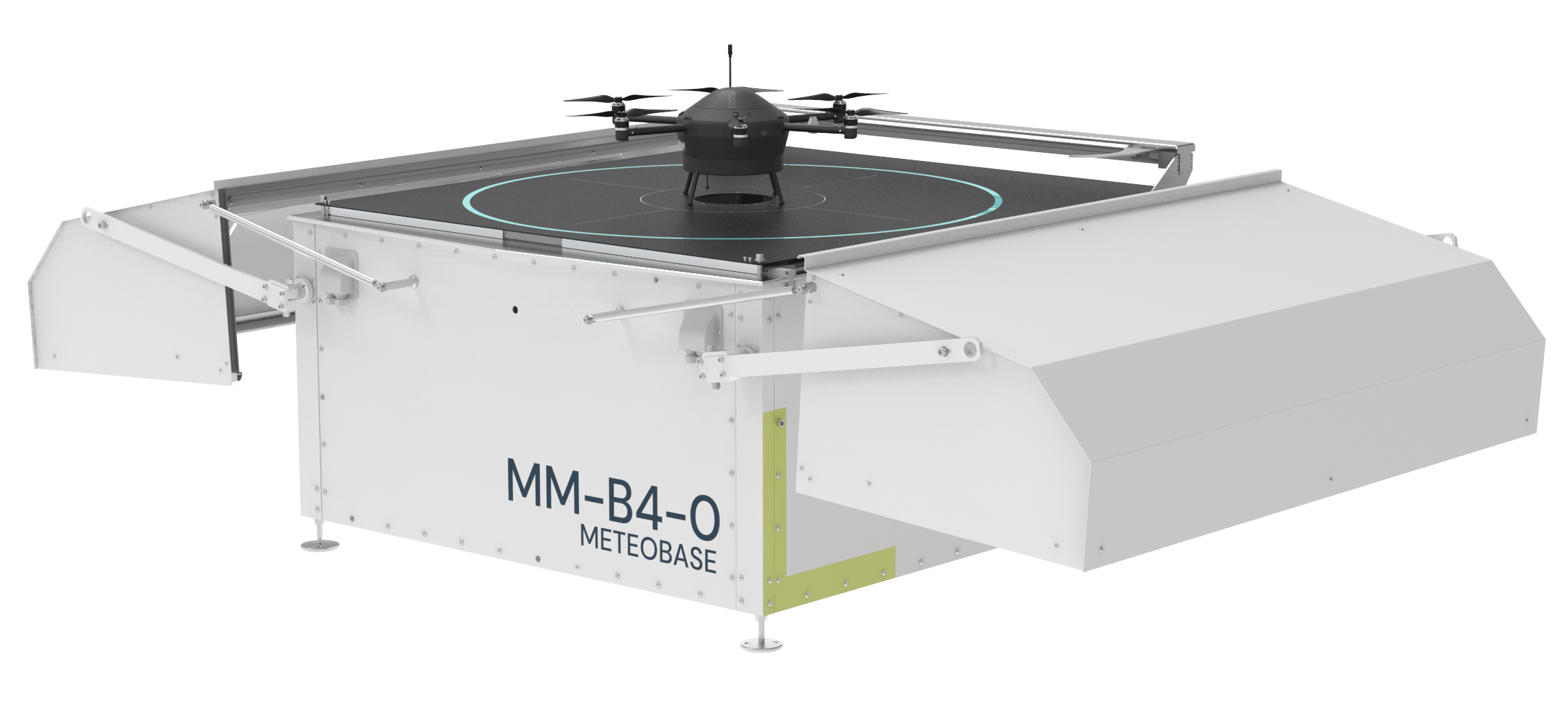
End-to-end weather solutions: from atmospheric observations to weather modeling and data delivery.







Frequently Asked Questions
By default, in geophysically redundant data centers in Germany. Government clients can opt for sovereign or on-premise deployment.
Yes. ISO 27001, GDPR, NATO interoperability, STANAG formats, and other standards supported.
Yes. National met services, ministries of interior, and MODs often collaborate to share infrastructure and data across use cases.
Yes. API delivers data for specific points, polygons, routes, or grids. Alerts via SMS, email, webhook.
With real-time access to weather data and alerting tools tailored for wind, fire, floods, and convective weather. Meteomatics' API and software tools enable situational awareness and briefing.
Meteomatics' models operate at higher resolution and update more frequently than most national systems. They’re often used to fill gaps in areas where national models lack granularity, or to support local-scale operational decisions with additional precision.
Talk to Our Experts To Explore Tailored Solutions for Your Needs

Talk to an Expert
We provide the most accurate weather data for any location, at any time, to improve your business.