08/14/2026
Closing the Atmospheric Gap in the U.S.
Meteodrones in the National Weather Services's 3D Mesonet Program

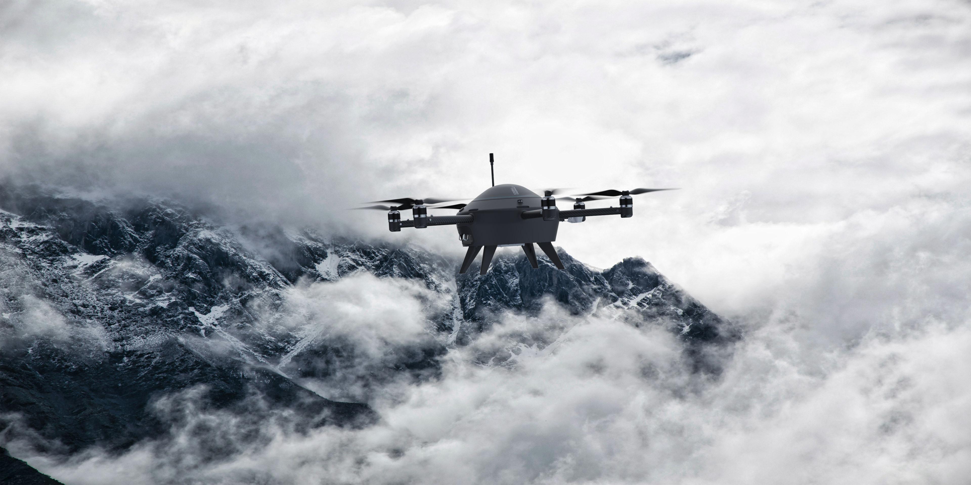
Powered by Meteodrones operating in the Oklahoma 3D Mesonet, the National Weather Service's first commercial drone data purchase closes critical 12-hour atmospheric gaps, transforming severe weather forecasting up to 20,000 feet AMSL.
For decades, the foundation of atmospheric forecasting relied heavily on two main inputs: ground-based surface stations and weather balloons launched twice daily. While ground stations provide continuous surface monitoring and weather balloons capture high-altitude profiles, the critical lower atmosphere (the Boundary Layer)—where high-impact weather forms—has historically suffered from a data gap between balloon launches.
That gap is now officially closing.
Through a historic milestone with the National Weather Service (NWS), federal meteorologists have, for the first time, commercially purchased real-time vertical atmospheric profiles collected by drones
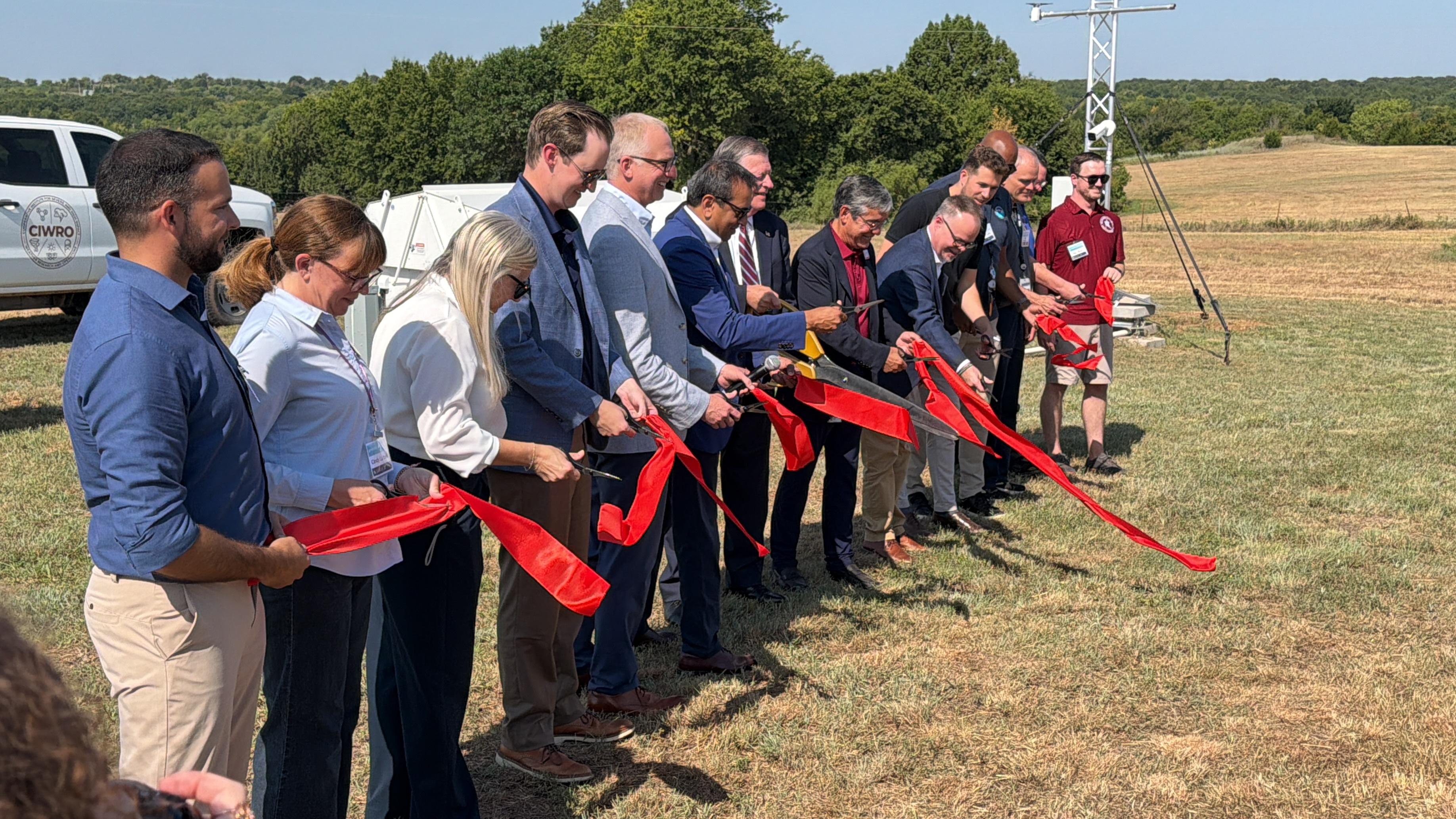
Facilitated through the NWS Commercial Observations Program and National Mesonet Program, this initiative builds on quasi-operational flights conducted at the Washington, Oklahoma station alongside partners from the OU School of Meteorology and CIWRO, integrating Meteomatics’ autonomous drones to expand the depth and reach of modern weather observation.
As University of Oklahoma meteorology professor Tyler Bell recently emphasized in Bloomberg, traditional observation tools leave lower-atmosphere forecasting in "terra incognita," noting that “drones are the ideal technology to fill the gap as they can monitor wind, temperature, humidity and pressure.”
Bringing that technology into operational reality, Meteomatics Head of Government and Defense Solutions, Brad Guay, explained the transformative impact of this data from the Meteodrones to KFOR-TV: "It’s kind of like putting on glasses for the first time where you’re seeing a clear picture of exactly how the atmosphere is changing."

CEO / Founder
By integrating our data into the National Weather Service’s capabilities, we hope to advance what modern weather forecasting can achieve.

20,000 Feet, Zero On-Site Operators: Meteomatics in Action
While traditional observation methods offer snapshots in time or fixed surface data, Meteomatics provides continuous, deep-atmosphere insights where high-impact weather actually forms.
As the National Weather Service's Ajay Mehta highlighted in The Journal Record:
"The boundary layer is really where we live, where we play, where we work. It’s what changes the most during the course of the day. It’s the weather that drives our economy, drives agriculture, drives transportation, and then it’s a critical input to our accurate weather forecast model."
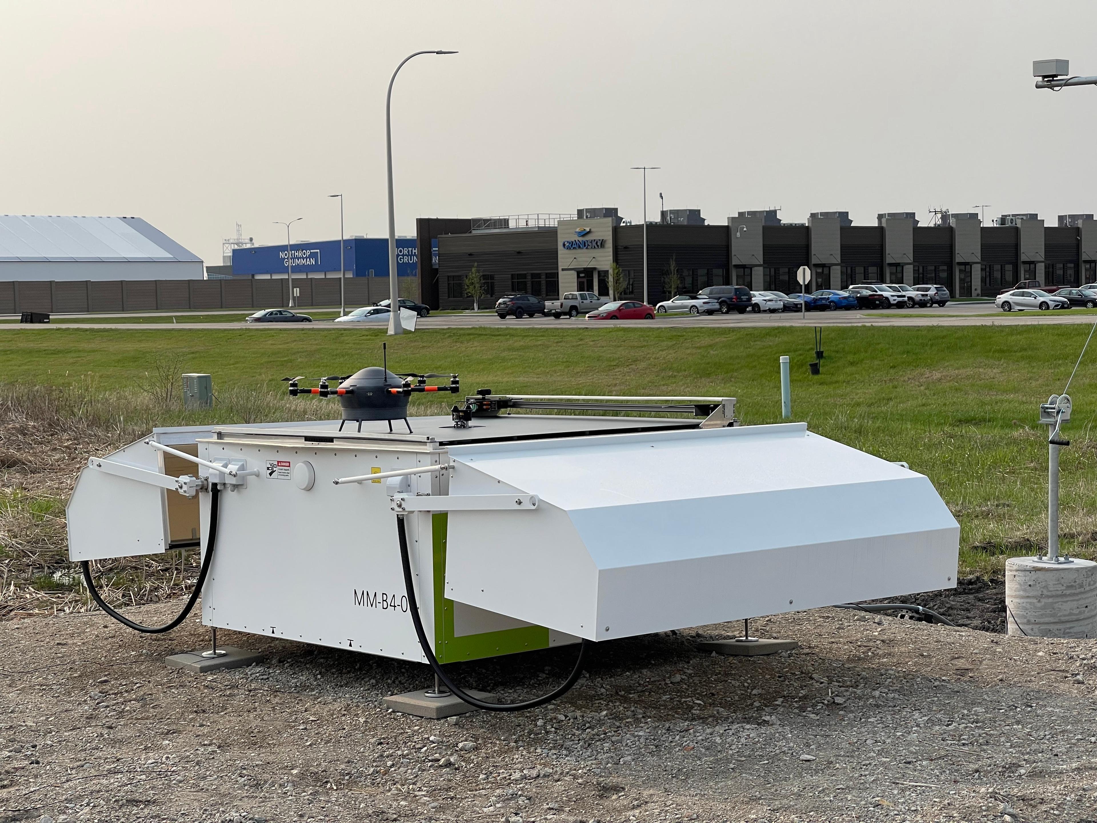
Operating at the Kessler Atmospheric and Ecological Field Station as part of the 3D Mesonet, the Meteodrone system directly addresses this need, delivering autonomous, deep vertical profiling up to 20,000 feet AMSL to fill the crucial boundary-layer gap.
Why Commercial Data Acquisition Matters
The NWS's decision to procure commercial drone data represents more than just a successful flight demo; it validates a fundamental evolution in weather enterprise strategy.
By purchasing high-frequency profile data directly from commercial partners, meteorological agencies gain several advantages:
- Targeted Data Density: High-resolution vertical profiles can be captured right where severe, localized weather forms—such as fog, low-level turbulence, icing, and severe convection.
- Enhanced NWP Models: Injecting dense 3D profiles into high-resolution Numerical Weather Prediction (NWP) models significantly boosts forecast accuracy for short-term and extreme weather events.
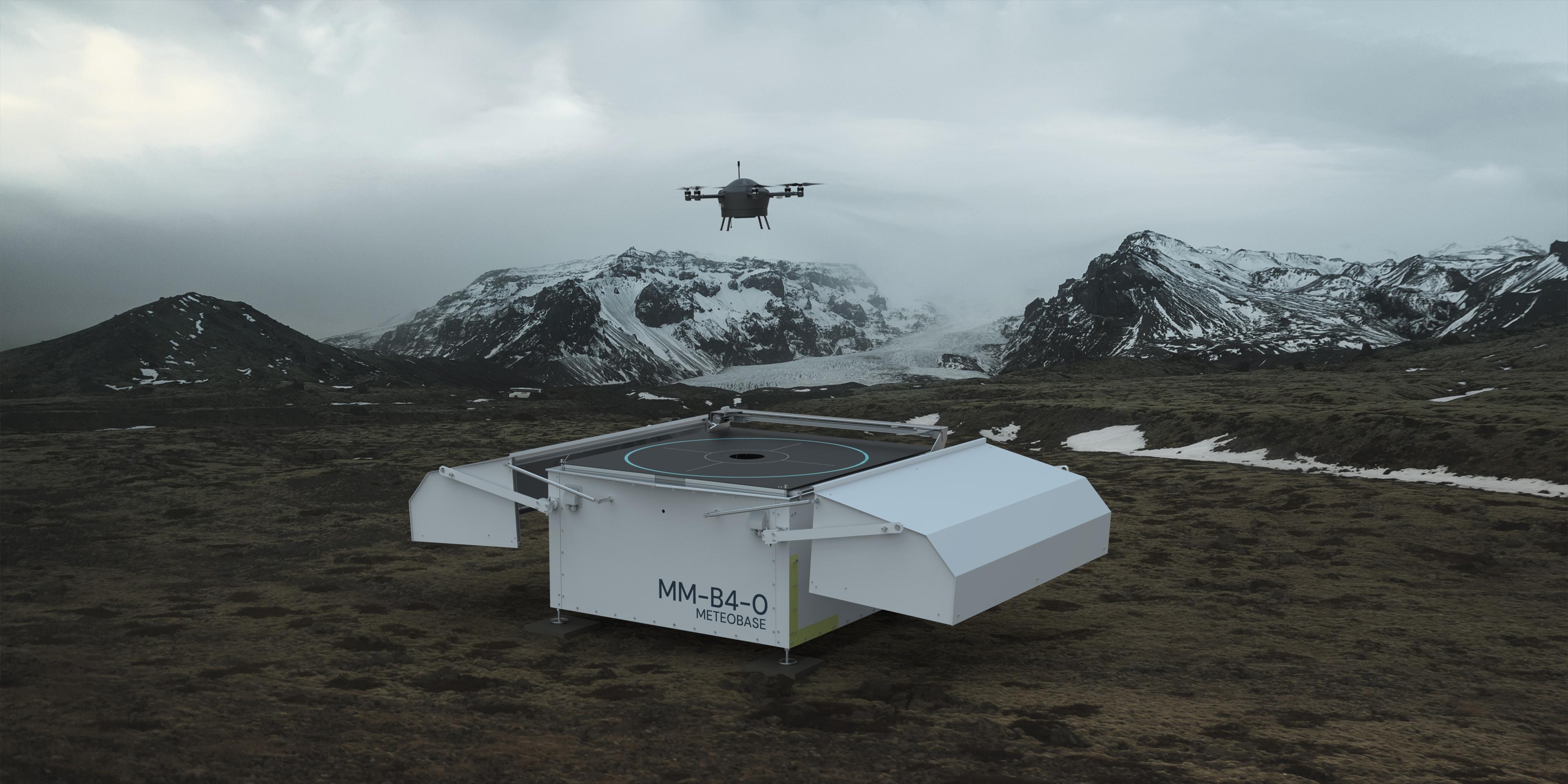
- Scalable Infrastructure: Combining commercial operational autonomy (like Meteomatics' automated Meteobases) with academic and regional network expertise enables rapid scaling across states and countries.
The Future of 3D Atmospheric Networks
The integration of autonomous Meteodrones into regional observation networks like Oklahoma's marks the beginning of a broader trend in global weather infrastructure. As demand grows for precise short-term forecasting—driven by everything from severe weather safety to aviation, logistics, and renewable energy management—3D mesonet networks will become essential.
At Meteomatics, we are proud to see our autonomous weather technology driving this shift, providing the accurate, real-time data needed to safeguard communities and inform decision-makers everywhere.

Talk to an Expert
Related Articles


We provide the most accurate weather data for any location, at any time, to improve your business.