Meteomatics has completed the first phase of its collaboration with NOAA’s National Mesonet Program (NMP), delivering strong operational results and confirming the value of drone-based atmospheric observations. Following the successful pilot, the project is now entering its second phase, which will run through August 2026.
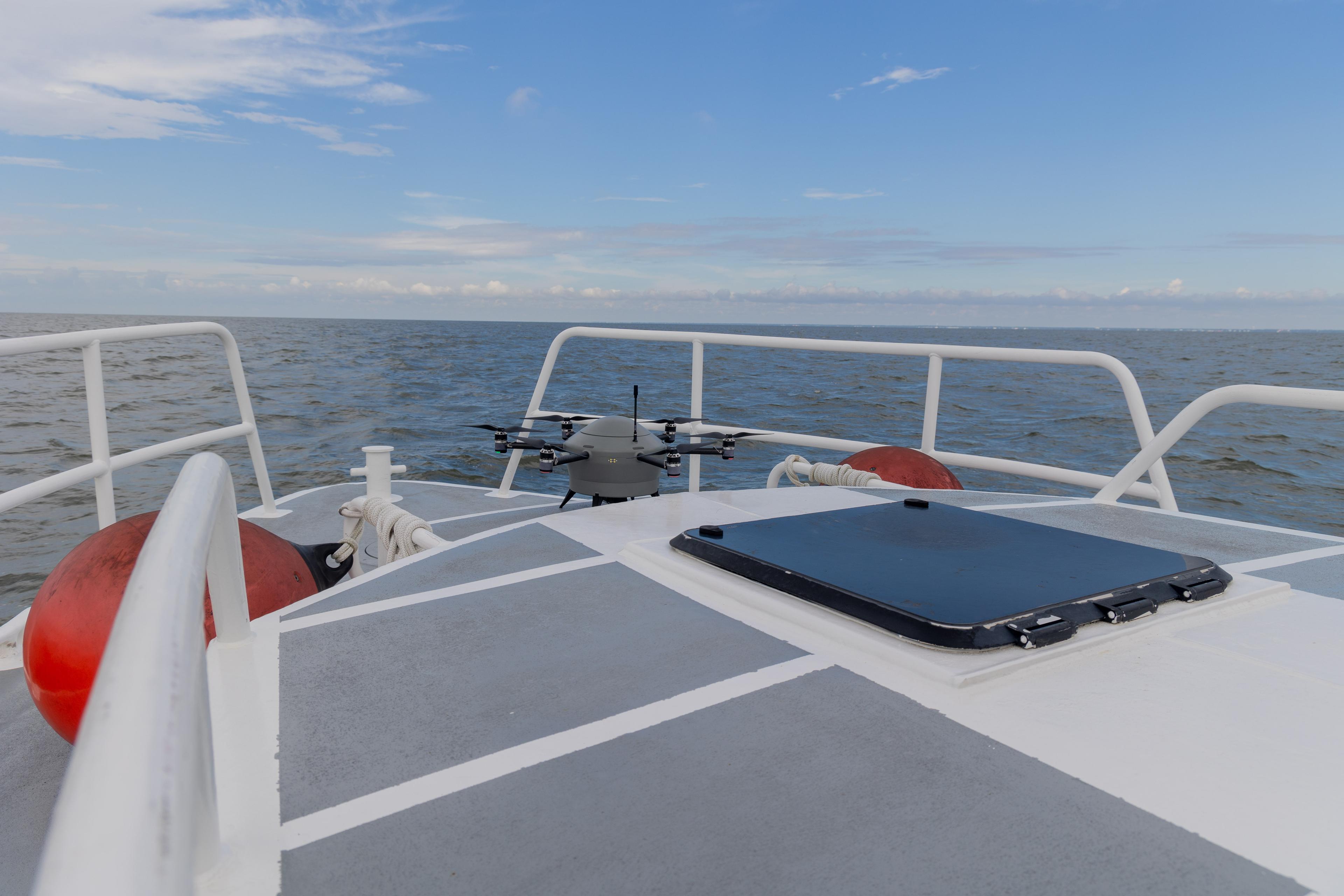
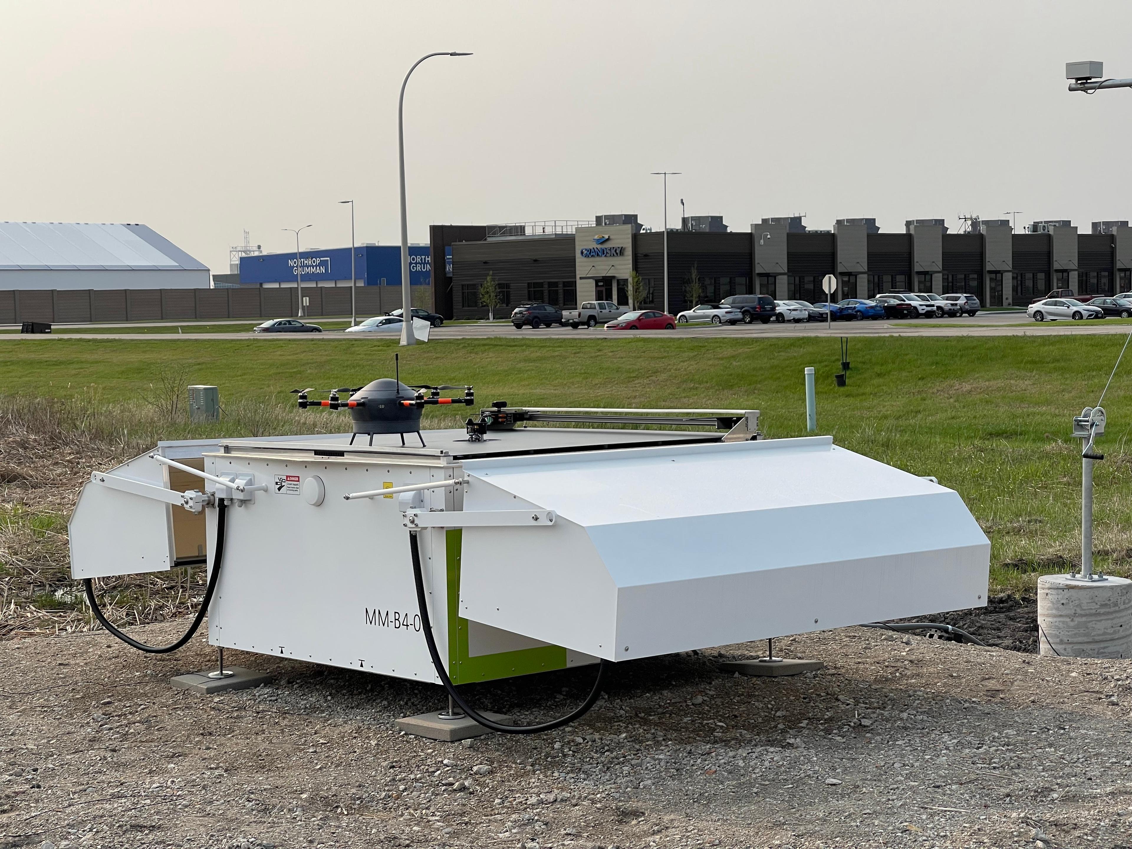
Between January and April 2026, Meteomatics operated routine Meteodrone flights from a Meteobase in Oklahoma, collecting high-resolution vertical profiles of temperature, humidity, and wind in the lower atmosphere. This layer, historically under-sampled, plays a decisive role in the development of high-impact weather.
The first phase of the project, delivered in collaboration with KBR and Synoptic Data, successfully demonstrated the technical feasibility and operational reliability of using drones for atmospheric profiling. With more than 450 routine flights, the drone consistently captured high-quality, real-time weather data on key meteorological variables in the atmosphere.


“The first phase validated what we expected technically, but more importantly, it proved operational viability,” said Dr. Martin Fengler, CEO of Meteomatics. “We’re no longer talking about potential. This is working in real forecasting environments, delivering measurable value.”
The next stage of the project will focus on scaling operations and further integrating drone-based observations into an operational forecasting environment.
Additionally, newly granted regulatory waivers are enabling higher-altitude operations, extending the vertical reach of Meteodrones. Flights are now authorized up to 5,000 feet AGL under beyond visual line of sight (BVLOS) operations. This expanded envelope allows for more complete sampling of the lower troposphere, closing a critical observational gap and delivering a more detailed understanding of its vertical structure and dynamics.
The broader goal remains unchanged: close persistent observation gaps in the lower atmosphere and strengthen forecast accuracy where it matters most.
For NOAA and its partners, the implications are practical. Better data at the right altitude leads to more precise forecasts, earlier warnings, and fewer blind spots in fast-changing conditions. For sectors like aviation, emergency management, and energy, that translates directly into reduced risk and improved planning.