
Fewer storms doesn't mean less risk. For energy, utilities, and infrastructure operators, the real challenge is timing, location, and forecast precision.
After nearly a decade of above-normal Atlantic hurricane activity, Colorado State University is signaling a shift for the 2026 season.
"We're forecasting 13 named storms, 6 hurricanes, and 2 major hurricanes," said Dr. Phil Klotzbach, lead researcher at Colorado State University. That's slightly below the long-term average of 14.4 named storms, 7.2 hurricanes, and 3.2 major hurricanes observed from 1991 to 2020.
On paper, that suggests relief. Operationally, it changes very little.
For energy traders navigating commodity markets, grid operators protecting critical infrastructure, and offshore asset managers, risk is not defined by seasonal totals. Risk is defined by where and when storms develop, how quickly they intensify, and how much warning time decision-makers have to act.
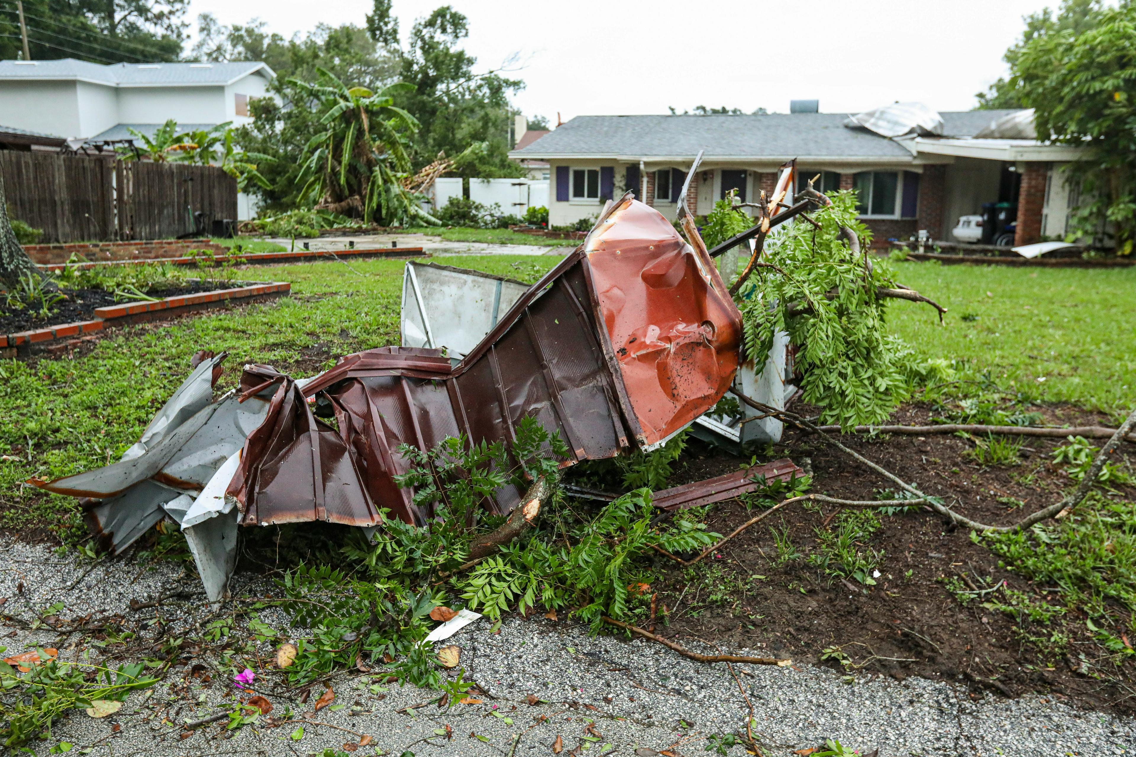
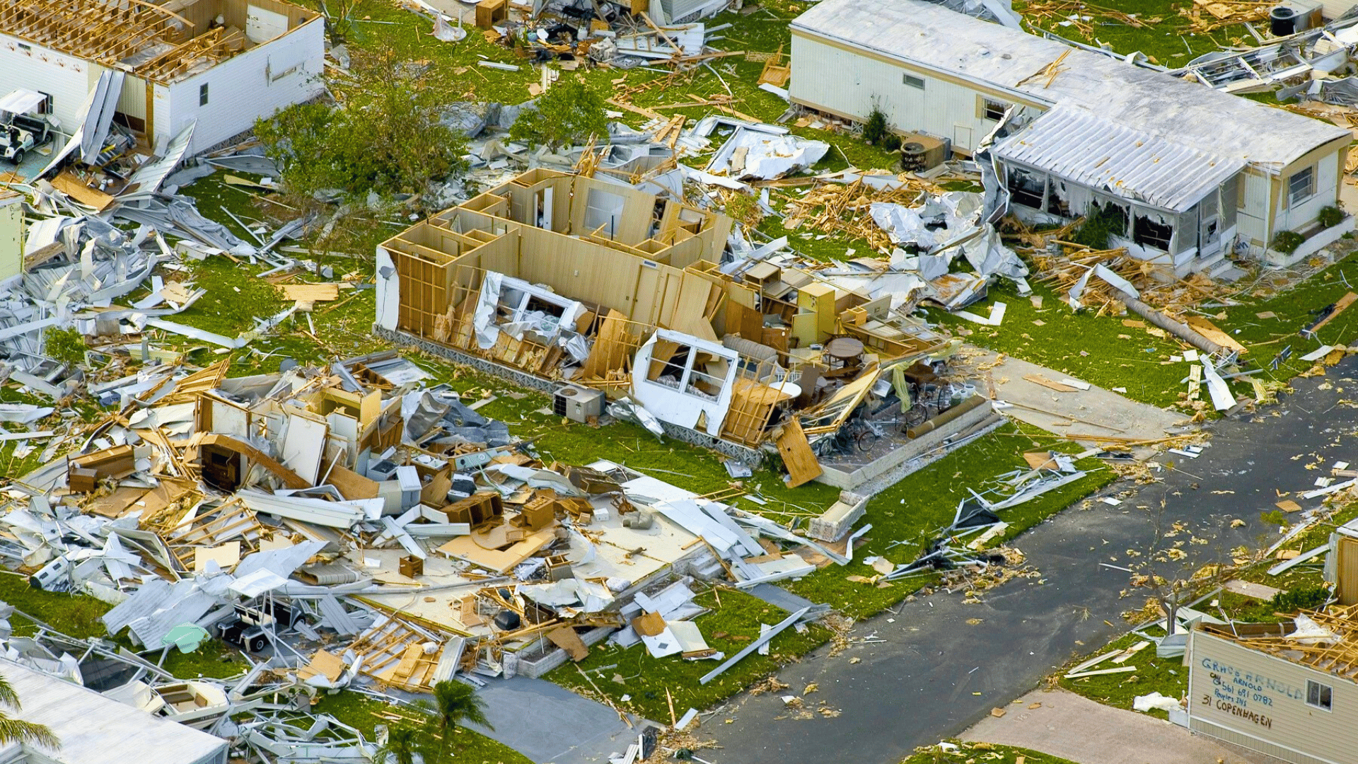
A below-average season forecast does not eliminate the operational impact of a single landfalling hurricane. In fact, it may increase it.
Understanding the 2026 Hurricane Season
Forecast with Dr. Phil Klotzbach
Video topics covered:
- El Niño development and its effect on Atlantic wind shear
- Why fewer storms doesn't translate to lower operational risk
- Localized storm formation and rapid intensification
- What energy traders and grid operators should monitor
Why 2026 Will Be Different: The Climate Setup
The primary climate driver for the 2026 Atlantic hurricane season is a rapidly developing El Niño pattern.
El Niño increases vertical wind shear across the Atlantic basin. Wind shear—the change in wind speed and direction with altitude—tears apart developing tropical storms and makes it harder for hurricanes to organize and intensify. When wind shear is high, the updraft in a storm tilts away from the system's center, weakening it.
In plain operational terms: the atmospheric environment becomes less hospitable to storm growth across the Atlantic.
Temperature and Basin Conditions
At the same time, Atlantic sea surface temperatures are running closer to average, Eastern Atlantic conditions are less supportive for African-origin storms, and upper-level patterns suggest some basin suppression.
Bottom line: Fewer storms overall in 2026.
The Operational Reality
Here's what matters: El Niño suppresses long-track Atlantic storms, but it does not prevent rapid intensification in the Gulf or near-coast waters.
This means:
- Storms develop closer to your assets with less warning
- Shorter decision windows for shutdown and mitigation
- Higher forecast uncertainty when it matters most
This is compressed-risk, not lower-risk.
Where Hurricane Risk Actually Concentrates in 2026
Gulf Energy & LNG
Fewer distant storms = higher reliance on Gulf-based systems. These intensify fast in warm water, give you 2–5 days' notice instead of 5–10, and are hardest to forecast until 48 hours before impact.
For operators, this is a precision problem, not a frequency problem.
You need 1-kilometer resolution forecasts. Not 10. Not 25.
Power Grids & Utilities
A single landfalling hurricane disrupts multi-state grids regardless of seasonal totals. Late-season storms still intensify rapidly. Restoration depends on hyperlocal wind and surge forecasts—not basin-wide activity numbers.
Seasonal outlooks don't resolve these impacts.
Energy Trading
One Gulf storm reshapes regional gas and power pricing for weeks. The edge goes to traders with real-time, high-resolution forecasts—not those watching seasonal predictions.
A 6-hour forecast improvement = millions in trading value.
Why Hurricane Forecasts Change: The Cone of Uncertainty Problem
CSU's outlook is strategically valuable for long-term planning.
It cannot answer:
- Will this storm hit my asset?
- What are the actual wind speeds at my location?
- When do I execute shutdown?
This is the gap between forecasting activity and managing risk. Most organizations fill it too late (48 hours before impact). Better organizations fill this gap continuously through real-time forecast integration and automated operational dashboards.
How Meteomatics Closes This Gap
Why 1-Kilometer Resolution Matters for Hurricane Forecasting
US1k delivers 1-kilometer resolution for the contiguous U.S. and Gulf—the precision required to forecast impact at a single refinery or transmission node, not across a 100-mile region. No competitor offers this resolution for U.S. hurricane tracking at hourly update frequency — critical for energy traders and grid operators.
How to Stay Updated During Hurricane Season: Real-Time Forecasts
Weather API connects directly to your operational dashboards, automated alerts, and decision support systems. Updates every 6 hours (or more during storm development).
You act 5-7 days before impact instead of 48 hours — giving you a 3-5 day competitive advantage in operational planning.
How US1k Outperforms HRRR, ECMWF, and AIFS in Hurricane Tracking
US1k's retrospective analysis against Hurricane Helene showed closer alignment to observed wind speeds than HRRR, AIFS, and ECMWF at key Florida monitoring stations.
This is not a forecast. This is a track record.
2026 Hurricane Season: What Energy & Grid Operators Must Know
The 2026 season may bring fewer storms.
For decision-makers, nothing changes:
- Plan for the one that disrupts you. Not the average. Not the forecast. The single event that matters to your operations.
- Use real-time forecasts, not seasonal outlooks. CSU tells you the macro picture. US1k tells you if you shut down today. Both matter. Use them correctly.
- Act early with confidence. High-resolution forecasts issued 96 hours before impact beat low-resolution guidance issued 36 hours before. Time is your competitive advantage.
In hurricane season, the difference between manageable disruption and catastrophic loss is rarely determined by seasonal storm counts.
It's determined by real-time forecast precision and automated decision-support systems that eliminate manual data delays
Seasonal hurricane outlooks provide climate context but miss the operational impacts that affect grid stability and energy trading decisions.
Real-time, high-resolution weather intelligence determines outcomes.