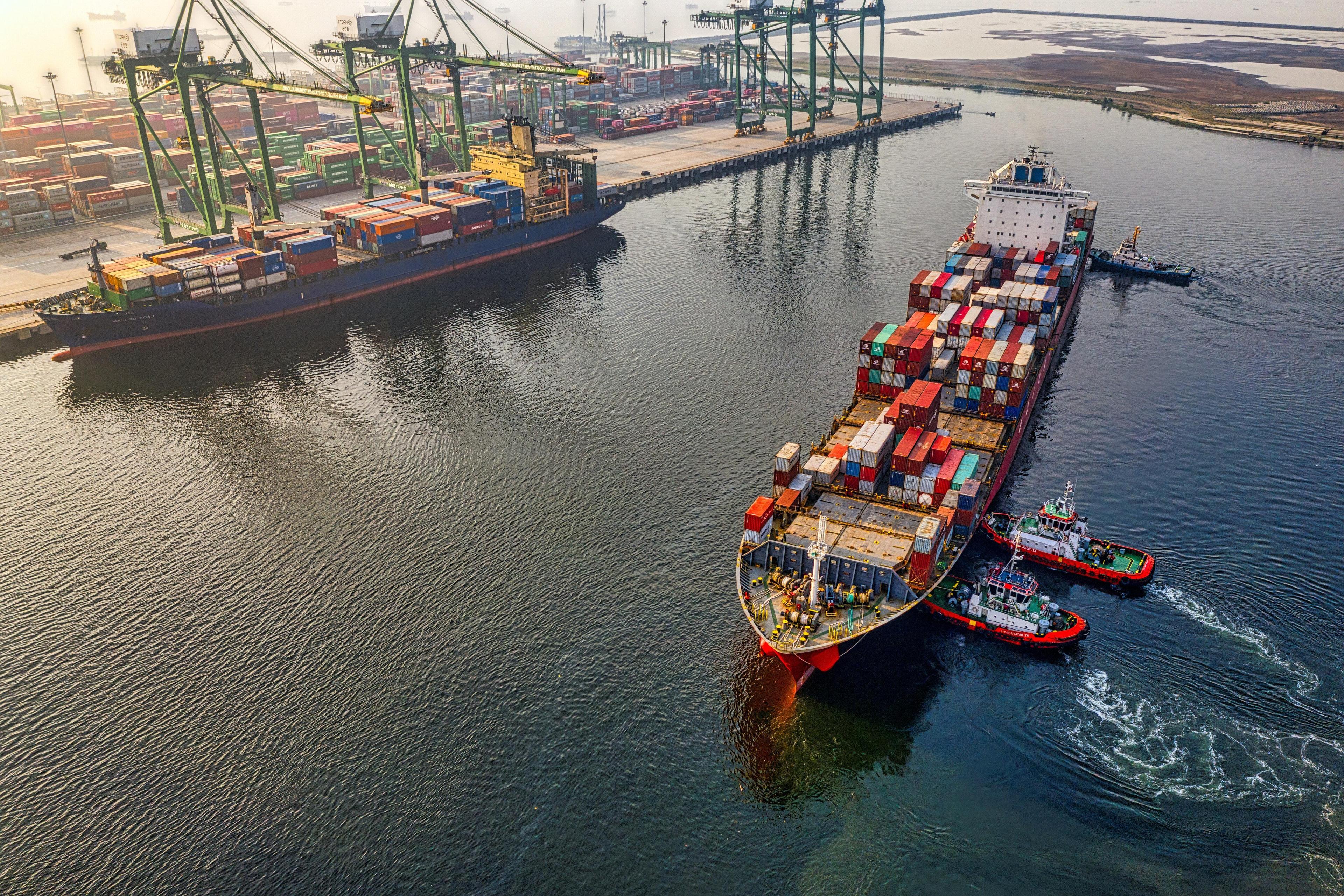
Solutions for Shipping and Offshore
Explore Our Solutions
Weather API
Get fast and easy access to the entire universe of weather data with our Weather API.
MetX
Visualize every weather situation to stay ahead and to make better decisions with our Weather Visualization Map MetX.
EURO1k
European weather model at 1km resolution: get accurate weather forecasts across Europe and make better decisions.
Why Is Weather Important for the Shipping & Offshore Industry?
Critical Weather Conditions on the High Seas and Ports
The international shipping industry is responsible for the transport of around 90% of world trade. Therefore, weather conditions on the high seas and at ports highly impact the supply chain.
Working with appropriate data to monitor ocean and mainland conditions will help you react in time to:
- adjust timetables and routes
- increase punctuality
- ensure the safety of your workforce and cargo
- minimize the structural impacts from weather exposure on your ships
- have more efficient fuel consumption
- improve loading and unloading efficiency
Weather Data for Sustainable Shipping
Gone are the days of the caravels. Today, ships are powered by petroleum products that release pollutants into the atmosphere.
Oil spills into the ocean are another side effect of shipping activities. Sometimes the accidents’ causes are related to the weather. Extreme weather conditions – such as hurricanes, storm surge, fog, ice flows, or high winds – may impact the course of vessels, leading to collisions.
Weather data will help you:
- understand and lower fuel consumption
- improve bunker costs
- manage carbon intensity levels
- prevent accidents

Global Director of Alliances
ABS Wavesight
When it comes to voyage performance and charter party compliance, up-to-date weather data plays a key role. We are now able to overlay the most up-to-date, weather data on the map and have on-demand forecasts for voyages. This allows for operations to react by adjusting timetables and routes, providing efficiencies in fuel consumption, more optimized ordered speed, increased reliability in arrival times and improved navigational safety.

Meteomatics Solutions for Shipping & Offshore
Flexible and Fast Weather Services
Ocean models, ocean and maritime parameters, coastal downscaling, global coverage, real-time calibration and downscaling, routing, and re-routing – we got everything covered.
- Port and supply chain weather: all weather impacts at port terminals and associated supply chains
- High-resolution: downscaling down to 90m (also in coast areas: coastal downscaling) and minute by minute temporal resolution
- Ensembles: worldwide coverage of ensemble forecasts (up to 7 months), extreme forecast index (EFI), and Shift of Tails (SOT)
- Weather warnings: multiple and customizable weather warnings (thunderstorm, tropical cyclones, wind warnings, and many more) in our API
Marine Forecast Parameters
- Wave height, direction, and period
- Mean direction of total swell
- Mean direction of wind waves
- Mean wave period first and second moment
- Period of total swell
- Period of wind waves
- Wave direction of first, second, and third swell
- Drift speed and direction
- Sea surface temperature
- Salinity
- Ocean Current
- Stokes Drift
- Bathymetry
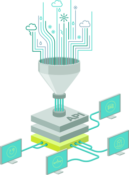
An API (Application Programming Interface) provides an interface for various programming languages that allows developers and programmers to integrate the data directly into their systems in the desired format in just a few steps. The Meteomatics weather API contains data on weather and climate.
It provides access to over 25 weather models (e.g. GFS, ECMWF, DWD, MeteoFrance, UKMetoffice and many more) and over 1800 weather parameters. Our interface is thus considered the gateway to the largest database of historical weather data, forecast data and climate data in the world.


With the availability of over 1800 different weather, environmental, and water parameters in over 25 different models, such as ECMWF or UKMO, through a single interface you can simply access all data in real time as needed through our weather API.
In addition, the flexible sourcing of all data enables the trial and testing of new products and services, allowing innovations to be implemented more quickly or to push dedicated projects faster ahead.
Explore the Power of Our Weather Visualization Map
- Temperature
- Precipitation (radar nowcasting)
- Visibility
- Fog
- Wind Speed / Direction & Gusts
- Severe Weather Warning
- Precipitation Type
- Surge Amplitude
- Significant Wave Height
- Ocean currents
- Probability and tracks for tropical cyclones
The combination of our weather data from the Weather API and the MetX visualization software provides one of the most advanced weather forecasting systems available today.
MetX visualizes all available meteorological and oceanographic API parameters such as temperature, pressure, humidity, cloud height, and more.
Our maps are generated with multiple API queries at the same time to quickly visualize the weather data even over large areas including global view. With MetX you always have the complete overview of the global as well as the local weather events. Through the animations you can also observe the development of the weather in detail. By using MetX you make better decisions based on the overall picture of the weather situation.
Our tool facilitates highly flexible weather maps. By using and combining different layers, users can:
- view only relevant weather parameters
- create and remove different layers as needed
- arrange and move layers on top of each other as desired
- combine layers to evaluate different scenarios
- adjust the layers with the help of various setting options, e.g. color saturation



Customer Success Stories
Our expert team of meteorologists and scientists is continuously working on the optimization, accuracy and availability of our data to deliver reliable solutions for your business. Select a customer story and get insights from our various use cases.












We Work With Groundbreaking Companies
We are proud to work with leading companies in the shipping & offshore industry. Together, we realize efficiency benefits, better integration of renewables and help our partners realize digital innovations.











Talk to an Expert