07/07/2022
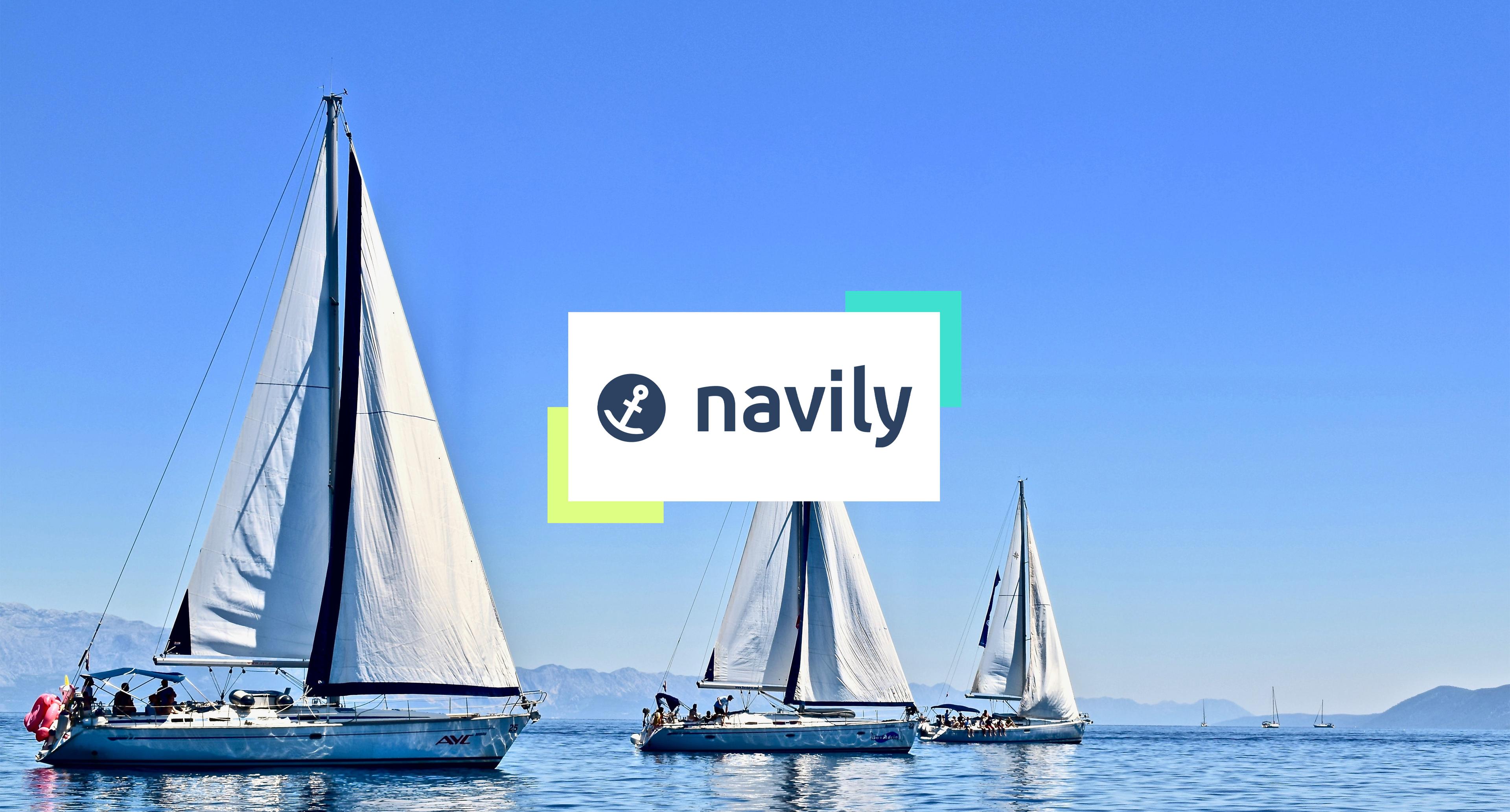
Weather Data Helps Navily’s Users Choose the Best Anchorages

Sr. Content Marketing Manager
As the summer season starts, recreational boaters set sail. To make their lives easier and their journey safer, Navily offers a recommendation score for anchorages across the Mediterranean and Caribbean seas. In this article, we explain how Meteomatics helps Navily create its recommendation scores, and inform its users about the weather conditions.
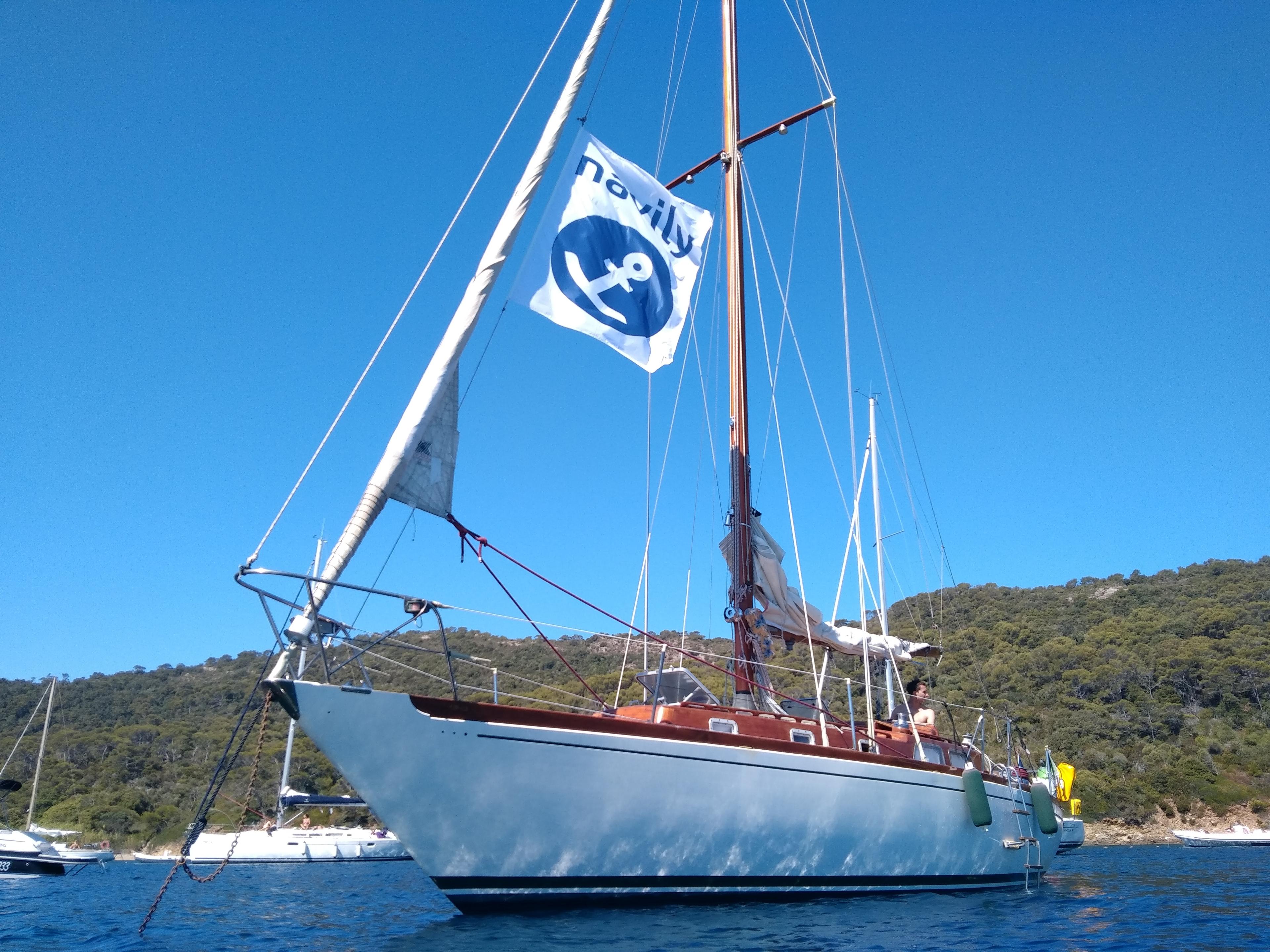
Navily Is Digitalizing the Cruising Field
“The Trip Advisor of the sea” – that’s how Edouard Fiess, Co-Founder and CEO of Navily, defines the app. As the summer season starts in the northern hemisphere, that’s exactly what recreational boaters and yachters need – a cruising guide, a booking platform, and a sailing community.
With frequent sea condition updates and space for real-time information exchange between users, Navily is digitalizing a field dominated by cruising guide books. Covering the Mediterranean and Caribbean seas, Navily’s goal is to help sailors book the best marinas and find the safest anchorages.
Precise Weather Information Is a Community Demand
Since the invention of engines, mariners don’t need to rely on the wind to navigate anymore. But how sailors navigate the weather is still – and will always be – paramount to sailing, as it defines the success and safety of a journey at sea.
For the past century, weather monitoring tools combined with fast means of communication have been protecting lives by helping vessels to avoid troubled waters on the ocean. When it comes to recreational boating, such tools can also be life-saving, especially when choosing an anchorage.
Highlights
Meteomatics helps Navily digitalize the cruising field.
Precise coastal forecasts help users find the best marinas and the safest anchorages.
Fast and reliable data delivery has enhanced Navily’s system efficiency.
Deciding where to anchor is not an easy task. If the weather conditions are unfavorable or rapidly changing, the boat can crash and even sink, putting the passengers’ lives at risk. Skippers usually check the coastal weather and make calculations to choose a safe place. The wind and swell directions are fundamental factors to take into consideration. When the boat is not in a spot protected from all sides, new calculations must be made each time the forecast changes.
Navily wanted to make it easier for the user to make this decision. The app has a recommendation score for each anchorage which is updated multiple times a day so that sailors don’t need to calculate everything themselves. It takes into account user ratings, the weather forecast, and the protection naturally offered by the anchorage.
On the app, Navily explains: “Comparing the forecasted wind (gusts, speed, origin) and swell (height and origin) with the natural protection of the anchorage, our system can detect how ideal an anchorage is and gives you a good idea of whether you can spend the day or the night here.”
For the app’s latest version, Navily wanted to offer premium users a graph showing how the protection score evolves within a 72-hour window. To provide the most precise and insightful information, they needed the market’s most accurate and fastest weather forecasts.
Higher Quality, Speed, and Accuracy With Meteomatics’ Weather Data
Before finding Meteomatics, Navily relied on a weather data provider whose forecasts were not as precise because it used only one weather forecast model. On top of that, Navily’s developers were recurrently facing slow response time, downtimes, and poor customer support. They quickly concluded that they needed a better service.
“I first contacted Meteomatics through the LiveChat available on the website. This led to an immediate call from your sales agent. I immediately knew that your customer service was far better”, said Edouard Fiess, “Since then, I always receive detailed responses to my requests within 24 hours”.
As the data described in our API is based on different models combined in an intelligent mix so that the best data source is chosen for each time and location, Navily got access to weather data with much higher quality.
By carefully listening to Navily’s particular needs, our engineers increased the precision of the water temperature forecasts on coastal lines, which is fundamental to determine the situation at marinas and anchorages. Whilst with the previous provider Navily had to operate with data 20 to 50 kilometers farther in the sea, with Meteomatics the forecast’s accuracy for each location along the coast is far superior.
Another key factor that impresses Navily’s developers is the speed in which they receive data from our API. “Before, we had to ask for data each time we looked at a marina. The response time was 40 seconds for each spot, and we had to make around 60 to 80 thousand calls a day, which was slowing down our systems. With Meteomatics we receive data for 10 thousand spots in 1 minute and never experience downtimes”, explained Fiess, “This allows us to easily query the weather 4 times a day, save it on our side, and feed it to the app in real time, which improved our system’s efficiency”.

CEO & CoFounder
Navily
Before, we had to ask for data each time we looked at a marina. The response time was 40 seconds for each spot, and we had to make around 60 to 80 thousand calls a day, which was slowing down our systems. With Meteomatics we receive data for 10 thousand spots in 1 minute and never experience downtimes.
Making Journeys at Sea More Predictable Together
The weather can make or break our vacation plans. This is especially true for recreational boaters. They need to be aware of the weather at all times to ensure the passengers’ safety and the boat’s structural integrity, while still making room to enjoy a pleasant time off at sea.
Navily wants to make the navigation process as smooth and stress-free as possible so that users can focus more on having a good time than needing to make endless calculations.
As much as we would perhaps like to, we can’t turn a rainy day into a sunny day. But with the tools available today, we can prepare ahead and set sail to where the sun is shining and the wind is light. By providing the best weather data in the market, we are happy to help this community unwind and keep safe at the same time.
About Navily
Navily is a cruising guide app with more than 500,000 users worldwide. It contains information on over 25,000 marinas and anchorages and allows users to book a place on more than 700 marinas across Europe. The app gives real time data, forecasts, and warnings on the weather situation at anchorages. On top of that, users can exchange information with other users and marinas via the In-App chat.
We Work With Groundbreaking Companies
We are proud to work with leading companies in the shipping and offshore industry. Together, we realize efficiency benefits, better integration of renewables and help our partners realize digital innovations.


Talk to an Expert
Related Articles


We provide the most accurate weather data for any location, at any time, to improve your business.


