11/02/2022
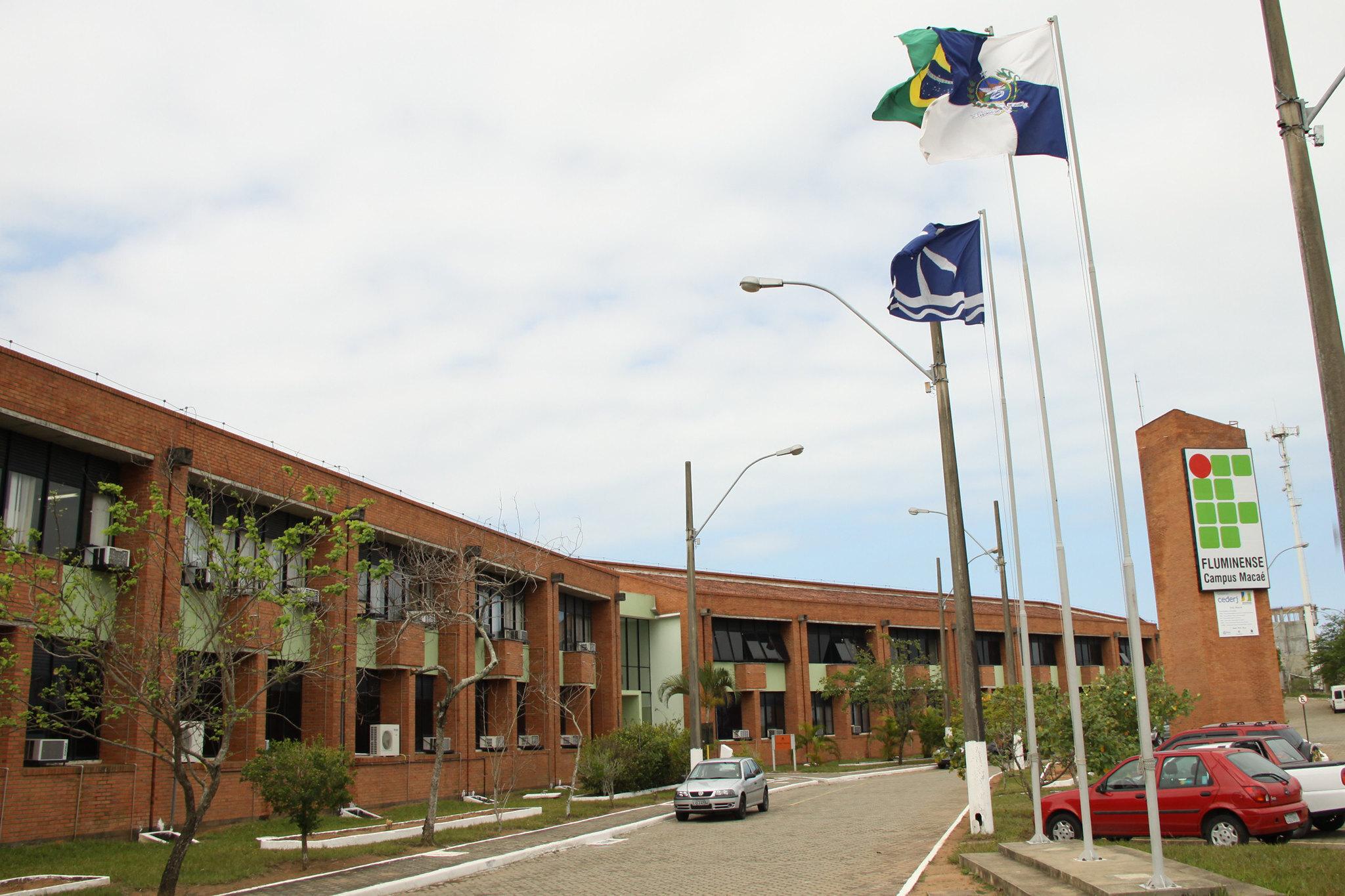
Alex Tavares Silva and Larissa Carneiro Rangel from the Fluminense Federal Institute in Brazil
Ask an Academic Series

Sr. Content Marketing Manager
In the first interview of the Ask an Academic series, we talked with Alex Tavares Silva and Larissa Carneiro Rangel, PhD candidates in Computational Modeling at the Fluminense Federal Institute in Brazil. They explain how they use weather data to study how to better monitor heavy precipitation and mitigate the impacts of flooding.
At Meteomatics, the rate of PhDs per square meter is high. From the CEO to the interns, we know first hand the pleasures and sorrows of academic work. We know how valuable research is to society and to businesses. But above all, we know the challenges of pushing to achieve groundbreaking results with – more often than not – limited resources.
Furthermore, weather data is being increasingly demanded for studies focused on the effects of climate change and sustainable alternatives for the future. As meteorologists that observe these effects daily, we’re in the eye of the storm and see the urgency to develop and implement sustainable solutions.
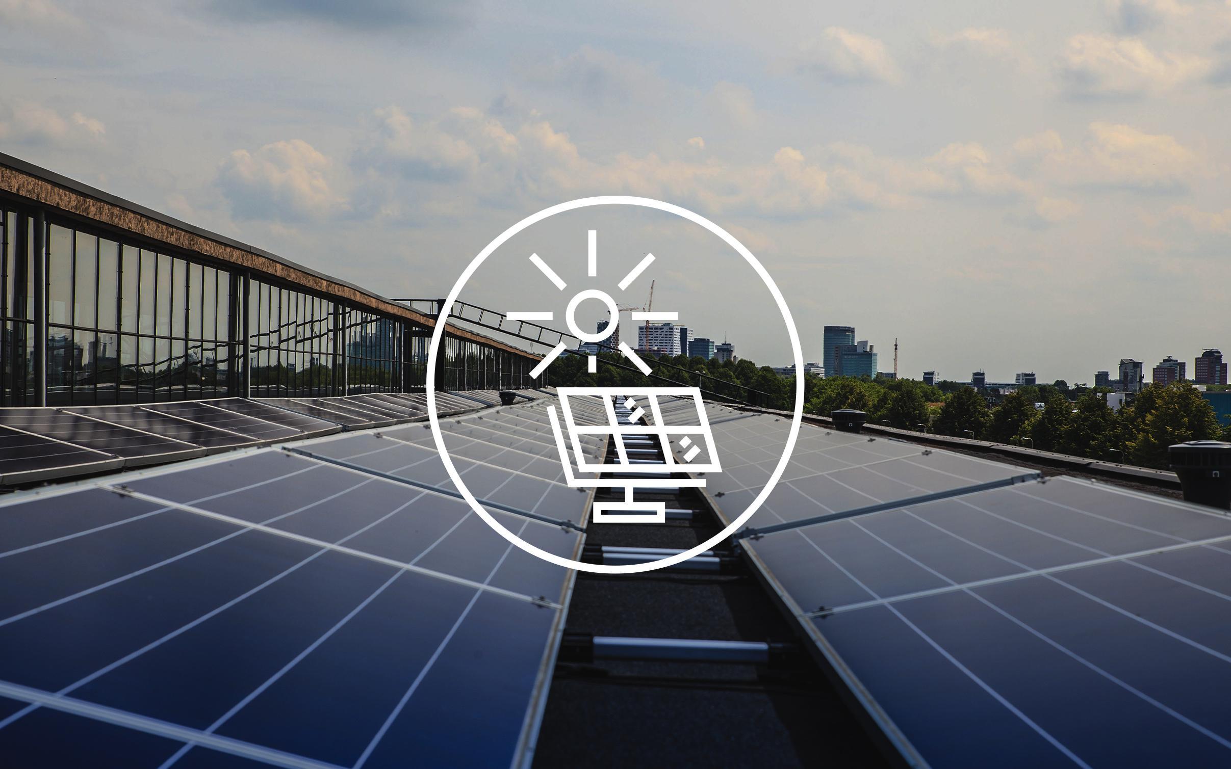
Not surprisingly, supporting universities is an initiative close to our hearts. Academic research groups receive special access to our Weather API, and we’re always proud to see their projects unfold.
Aiming to give more visibility to researchers, we’re publishing a series of interviews where they explain the context of their studies and give a sneak peek of the results they expect to achieve.
To kick it off, here’s the interview we did with Alex Tavares Silva and Larissa Carneiro Rangel. Alex holds a Master’s degree in Computational Modeling in Science and Technology from the Fluminense Federal University (UFF) and works as an IT technician at the Fluminense Federal Institute (IFF). Larissa holds a Master’s degree in Environmental Engineering from IFF where she is also a professor.
Alex and Larissa are PhD candidates enrolled in the Modeling and Technology for Water Resources and the Environment program at IFF, in Rio de Janeiro, Brazil. To help them conduct their research, we provide them with forecast and historical weather data from our API.
They’re closely supported by Julia Carelli, Meteomatics’ meteorologist and sales manager from Brazil.
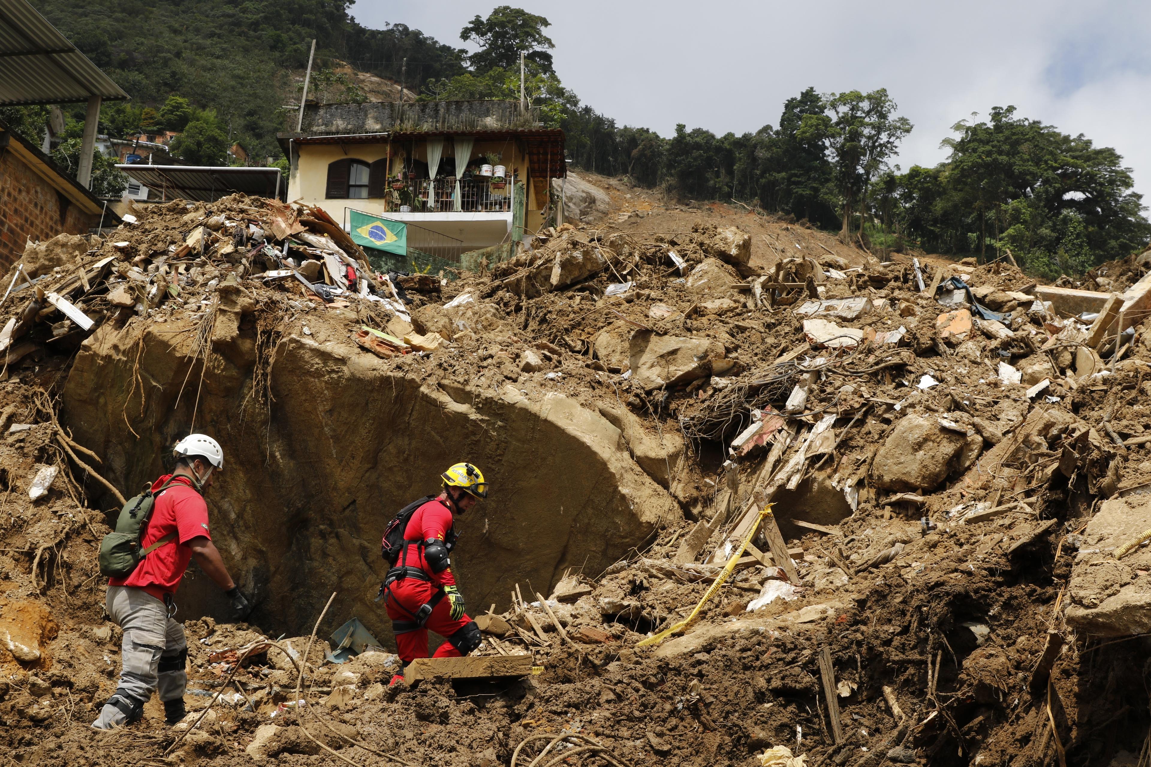
In February 2022, intense precipitation in Petrópolis (Rio de Janeiro, Brazil) caused mudslides and flooding, killing over 200 people.
Interview with Alex Tavares Silva and Larissa Carneiro Rangel
Why did you choose to do your PhD at IFF?
Alex: My background is in mathematics and computer science. I believe that climate change is a huge challenge that can be addressed, at least in part, using numerical analysis, and the “Modeling and Technology for Water Resources and the Environment” program at the Instituto Federal Fluminense allows me to make an impact in this area.
Larissa: All my previous education was done at IFF. There, I had the opportunity to benefit from a research initiation scholarship and an internship. I’m grateful to the institution and share its values, which is why I continue to study there.
What’s the focus of your research?
Alex: Computational modeling, numerical and geospatial data analysis.
Larissa: Feedbacks between urban infrastructure and rainfall in computational simulations. Using the MOHID platform, I simulate and analyze the interaction between cities.
What benefits will the results of your work bring to the field and to society in general? Do you expect your projects to result in a product?
Alex: Studies on intense rainfall are important for the engineering area. They allow planning of structural works to mitigate problems arising from flooding.
Larissa: Specifically, in city control and planning, preventive actions regarding drainage works are important. This will allow me to evaluate options for sustainable solutions as well as structural measures.
Alex: Our proposed system of predicting heavy rainfall across Brazil, which uses satellite images and computational intelligence, will allow us to generate a climatological water balance for a given location. The product will hopefully enable more effective infrastructure planning.
Larissa: I also consider urban planning to be the most direct area of application for my research. By providing reliable model data we can help drive public policies to assist decision making on the most appropriate solutions to mitigate floods. I hope that this protocol will be transferable, so that my research can have an impact on many cities worldwide.
Why is meteorological data essential for your research and how do you use it?
Larissa: Precipitation data is fundamental for the analysis of flood mitigation proposals in the region.
Alex: The system I’m developing uses precipitation and temperature data based on a heavy rainfall equation from the literature to predict floods. Using computational intelligence, we can then extend the methods to predict floods even in areas with data scarcity. I’m also investigating the possibility of adding data such as air humidity, altitude, and wind speed to further improve my algorithms.
Do you use data sources other than Meteomatics? What are the advantages of Meteomatics data?
Larissa: Yes, in addition to Meteomatics data, we use annual averages of temperature and precipitation which we get from governmental agencies such as the National Institute of Meteorology (INMET) and the National Water Agency (ANA).
Alex: Meteomatics is great for filling in the gaps in our data record. For example, other sources may not be available with such a large number of days or such high temporal resolution. That’s not always ideal for the forms of the equations which we need to use.
How has your experience been with the API data and with Meteomatics in general?
Alex and Larissa: The experience has been very good, taking into account that the free API provides up to 15 parameters and can forecast up to 10 days. Because it has a module for several programming languages, including Python, it becomes a potential tool for obtaining weather data that can work together with computational intelligence algorithms.
About the Fluminense Federal Institute
IFF is a public and free education institution that offers Initial and Continuing Education, Technical High School Courses, Youth and Adult Education, Bachelor's Degree, Bachelor's Degree and Technology, Lato and Stricto Sensu Post-graduation.

Expert Call
Let’s Find the Perfect Solution to Your Problem. Talk to an Expert.
Related Articles


We provide the most accurate weather data for any location, at any time, to improve your business.