02/02/2022
Reaching for the Vertical: Autonomous Missions with the Meteobase

Chief Drone Officer
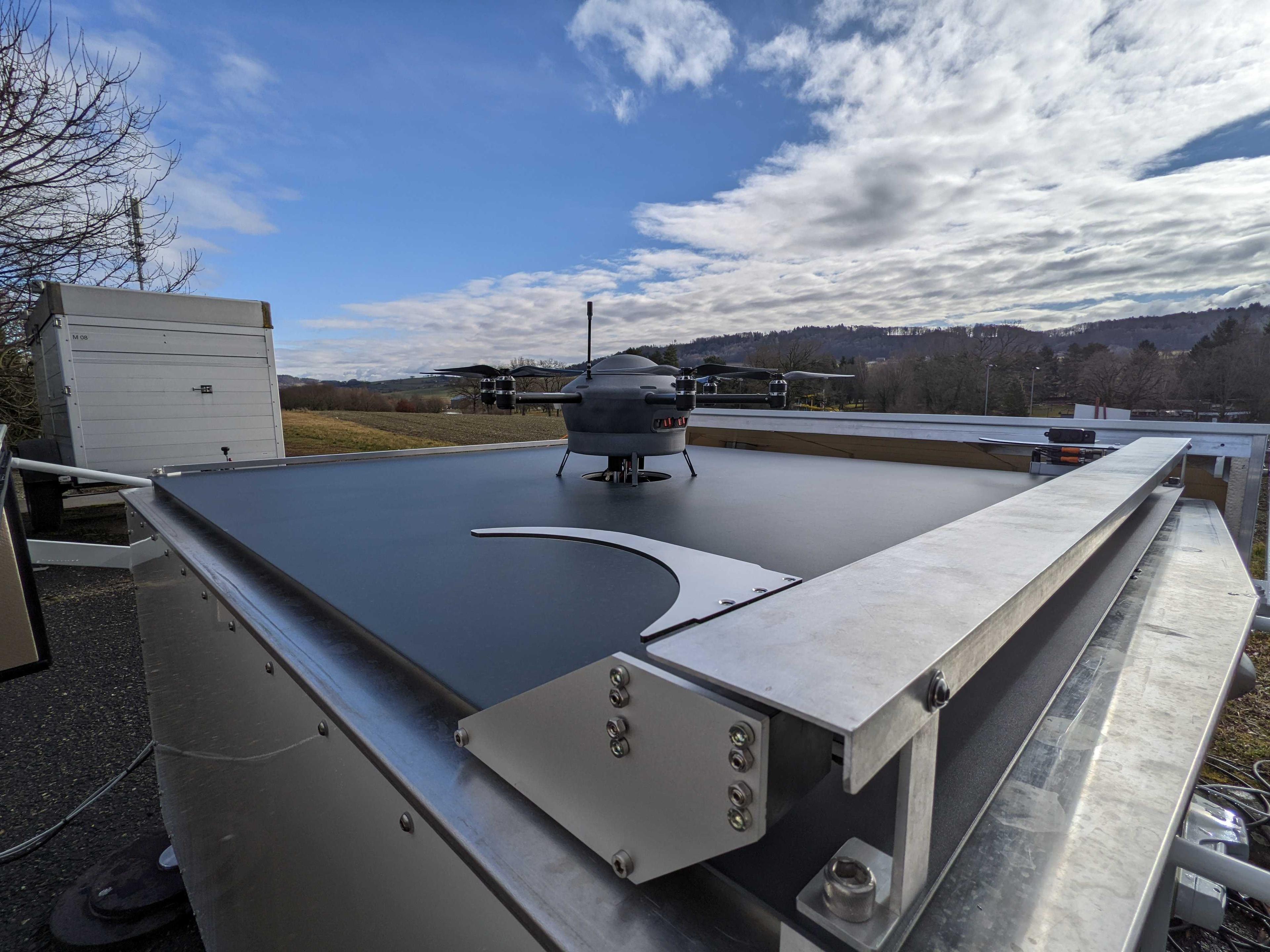
Meteomatics’ autonomous Meteobases are being rolled out as a unique measurement network, immensely improving the data availability around the planetary boundary layer with UAVs
With the advance of new technologies in the field of Unmanned Aerial Vehicles (UAV), Meteomatics opened up new ways of measuring weather data in the planetary boundary layer (PBL). Nowadays, even altitudes beyond the PBL and up to 6 km above ground were made available by Meteomatics’ Meteodrones with their advancing technology. In combination with the high-resolution weather model SWISS1k, Meteomatics improves weather forecasts for Switzerland already today. From a time where Meteodrones were employed as mobile systems with an on-site pilot, Meteomatics quickly advances towards the remote and autonomous operation of Meteodrones in Meteobases. This allows to operate several drones with a single drone pilot who coordinates and monitors the drone from a central flight center, reducing costs and making the collection of weather data from multiple locations feasible. What’s more, this setup can be integrated straight forward in the existing network of weather data gathering technologies, as multiple data formats are immediately available after a flight.
Recognizing the value of high resolution and highly accurate weather data for the Swiss aviation, in a current project together with an aviation focused interest group (i.a. FOCA, Swiss, REGA, ETH), 15 Meteobases are currently being positioned across Switzerland and north of the Alps.
Of course, benefits are not limited to aviation. Agriculture, the energy sector and insurances among others in Switzerland will profit too, as businesses already profit from the easy-access Meteomatics Weather-API and will further do so with the drone enhanced weather data. The roll out will lead to more precise weather data for Switzerland than ever before.
Meteobase Operational Deployment
In the last years the development of autonomous drone bases made huge steps towards maturity, as drone technologies grow together with an industry that is still quite young. As one of the players in the field, the Meteobase – a remote drone base for weather data sensing – has left the prototype phase and entered the operational stage.
Application opportunities of the Meteobase are aimed towards meteorological measurements but are manifold and not limited to this use case. In a proof-of-concept study that started in 2019, Meteomatics was asked to deploy their drone base for environmental surveying in a project together with the Department of Earth Sciences at the ETH Zurich and the Swiss Federal Institute of Forest, Snow and Landscape Research (WSL). Groups from these research facilities are interested in the dynamics of sediments for studying, and ideally warn or even prevent, landslides. Figure 2 shows the Meteodrone just after take-off from the Meteobase on its way into the landslide prone area.
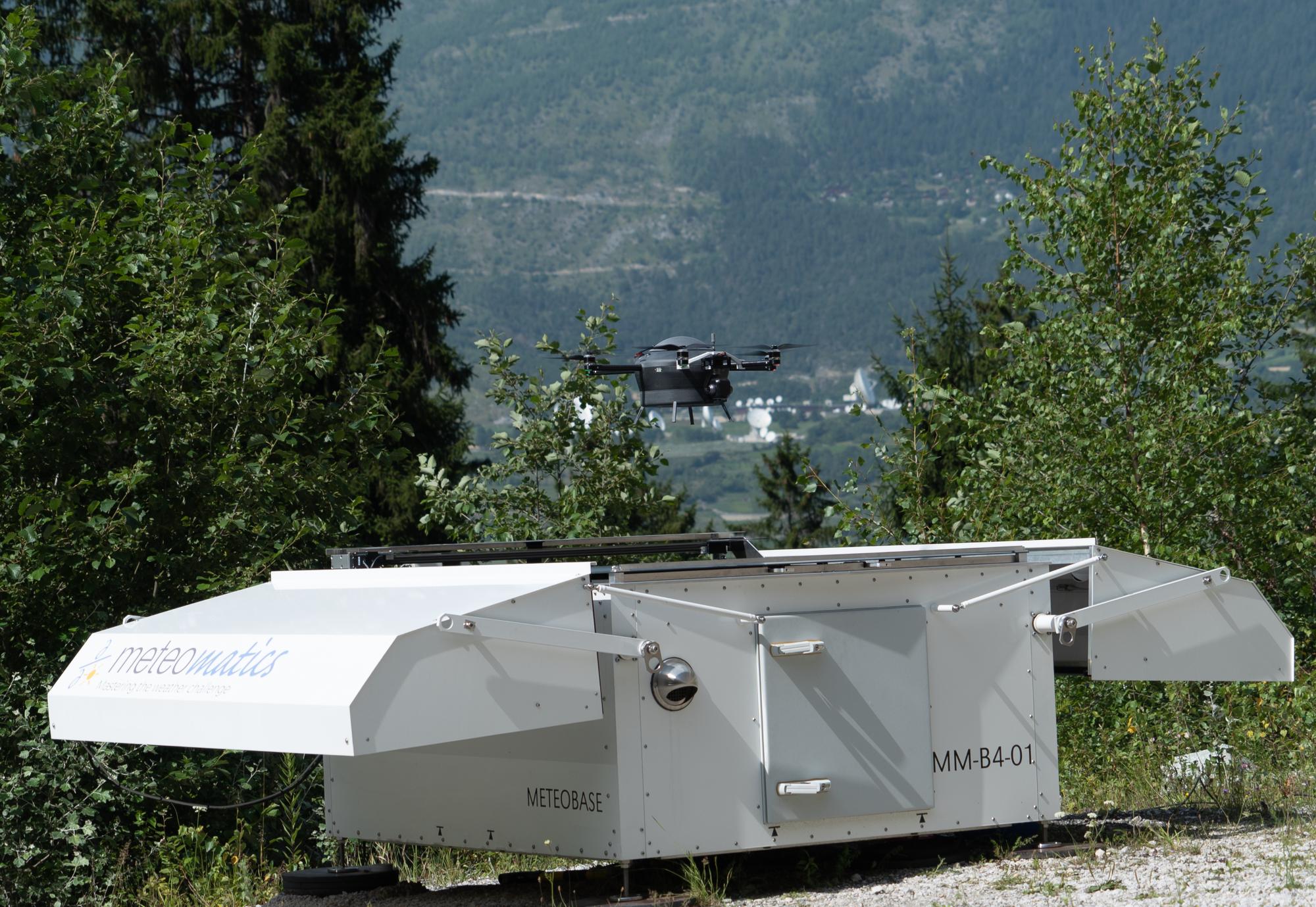
Figure 2: The Meteodrone taking off from the Meteobase, on its way into the landslide prone area. In this use-case, the Meteodrone carries a high-resolution camera as its payload, taking pictures along its flight path.
Switzerland – being in the alps – features a couple of areas, where the ground is unstable and regular landslides can be observed; in very few regions even reliably several times per year. These areas are ideal models for studying landslides but, due to the danger of natural hazards, these areas are inaccessible to people. The great benefit of autonomously operating drones is that no personnel needs to be present or enter such environments and risk their lives. Instead, the drone flies beyond visual line of sight and automatically along its predefined flight path, taking images as it goes. The images are uploaded to a server directly after the flights and can be analyzed or post-processed by the scientific specialists. The scientists from the WSL and ETH create digital elevation models from the data and analyze the variation in sediment availability. Those results – enabled by the new technological advances – lead to insights, never seen before.
After the starting phase in 2019, the project went into an operational phase and was continued in 2020 and 2021. In total, more than 70 flights took place during these years, collecting a large and unique data set, unobtainable before.
Autonomous UAV Meteo-Missions
Besides flights in the horizontal plane, drones opened up access to the vertical. In particular, drones are now employed to profile the lower atmosphere. Meteomatics’ Meteodrones even reach levels of up to 6 km above ground, enabling high frequency profiling of meteorological data for the important planetary boundary layer. Data derived from the PBL is key in forecasting local phenomena like thunderstorms, fog or hail. However, those local weather events influence daily lives and businesses noticeably the most and it is therefore almost tragic that only limited data around the PBL is available. Besides the lack of availability, the quality and reliability of existing measurement options leave room for improvements.
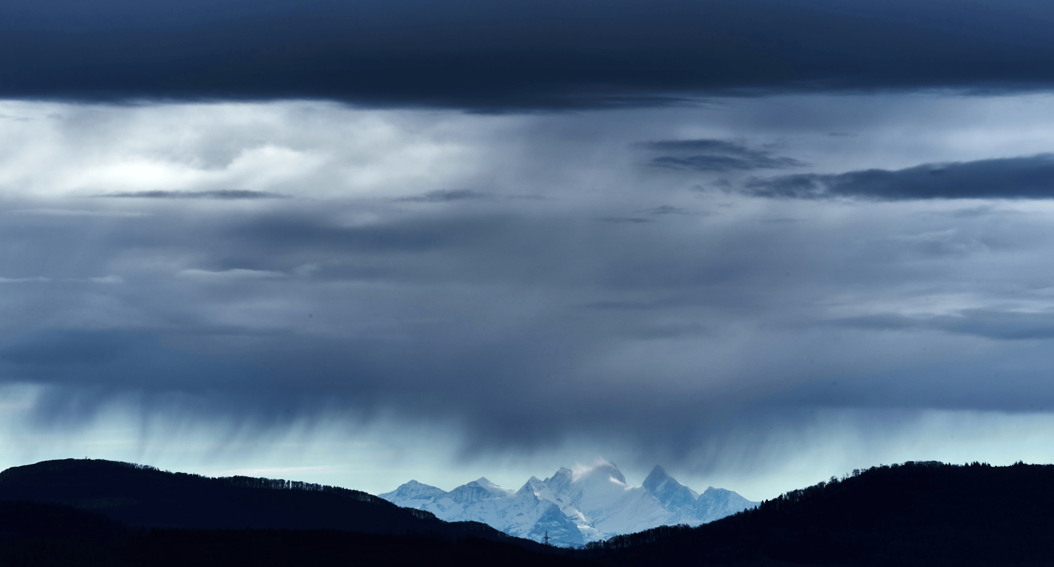
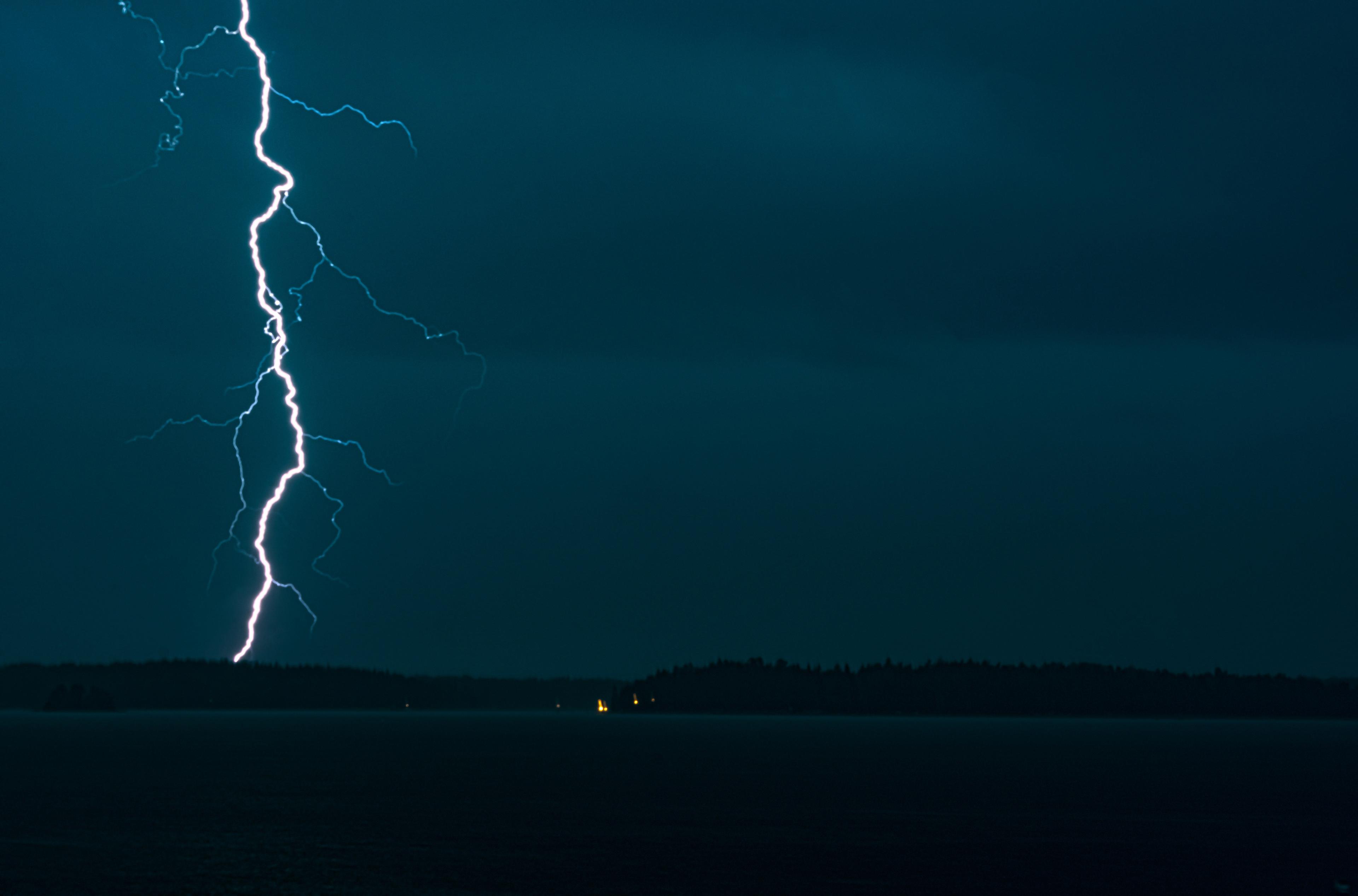
Figure 3 shows the spectacular view from the Meteodrone on its way to 6 km above the ground. During its ascent, the drone flies through clouds and two distinguished cloud layers can be seen in the footage. Typically, though, no camera but only weather sensors are carried on the drone, leading to unique data from the vertical.
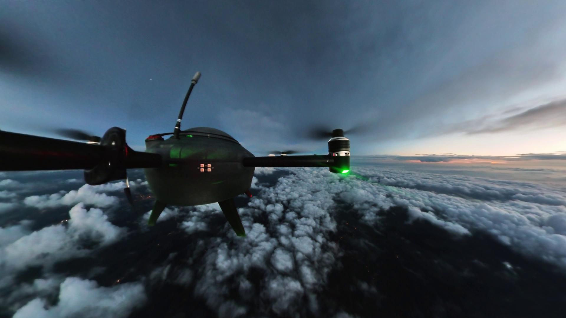
Figure 3: The Meteodrone’s view during the vertical ascent up to 6 km above the ground. The unique footage shows how the drone flies through two distinct cloud layers on its way to the top. Typically, the drone carries no camera but only sensor forks.
Weather stations on the ground are now common and indispensable for daily work based on exact ground data. Unfortunately, ground data is only of limited use for initiating numerical weather models (NWM). Typically, for NWMs scientists use data gathered from weather balloons as their initial conditions. Extending on the set of initial data, Meteodrones allow to collect weather parameters in high frequency and spatially precise around the PBL. In combination with the Meteobase, the Meteodrone becomes an automatic measurement unit, just like a weather station, but for the vertical profile.
Recognizing the potential of autonomous Meteodrones for the forecasting of fog and other local weather phenomena, Meteomatics is in the process of rolling out their Meteobase – Meteodrone pair for measurements at key locations around Switzerland. The dense net of drone bases will allow for close monitoring of the lower atmosphere and, in combination with Meteomatics’ one-kilometer weather model SWISS1k, will lead to highly precise weather forecasts. Enhanced weather forecasts are beneficial to airports and other stake holders in and around Switzerland to save a lot of money.
First results are already rolling in and yield promising results as Meteobases are deployed in western and eastern Switzerland. Currently, each location is monitored by a pilot, but in the near future – relying on a high automatization – one pilot will be responsible for multiple Meteobases.
The Meteobase as a Vertical Profiler
In the last couple of years, Meteomatics has extended the operational reach of their weather drones from 1.5 to 3 and up to 6 km above ground. The range extension means that lately also higher levels can be reached that are of meteorological value.
For example, the insightful and meteorologically important level of 500 hPa is included and means that forecasts are not only improved for local, short range weather phenomena, but also for the general weather situation. This forecasting ability means a huge impact on weather models especially when they are of high resolution, as is the case in the SWISS1k model.
The SWISS1k model is a one-kilometer numerical weather model currently spread over Switzerland, which is specifically designed to be enhanced with drone data. Such data, covering 6 km in a spatially very precise manner, are assimilated in the model and complement the range of initial starting conditions. Unlike the gold standard of vertical profiling, the radiosonde, Meteodrones can fly several times per day, are reusable and stay tight on their vertical ascent path. The only drawback so far seems to be their limitation to even higher altitudes and limits from environmental influences. For reducing the impact of the latter, Meteodrones are equipped with unique, in-house developed deicing technology. Together with their capability to fly in rain, snow and fog conditions as well as in strong winds the drones seem well equipped for providing data for the daily business of Meteorologists and their weather models.
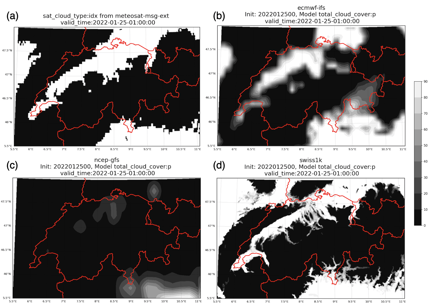
Figure 4 shows the impressive resolution of the SWISS1k drone-enhanced weather model and a comparison to the European (ecmwf-ifs) and American (ncep-gfs) global weather models. As can be seen in comparison to the satellite “truth”, the SWISS1k model resolves the fog, distributed through the alpine topography of northern Switzerland, nicely and in agreement with the satellite data. While the European global model, with its large grid, still partly includes the fog, the resolution is falling short to resolve the alpine structures. The US American global weather model does not forecast the fog correctly.

Since about 60 % of Switzerland are covered by the alps, national weather forecasting is unique and interesting and, especially for global weather models, also difficult. One valley might already experience different micro weather compared to its neighbor. A network of vertical drone profiles will enhance the predictability greatly but also requires reliable and autonomous measuring units that need to be able to operate e.g. also in severe snow.
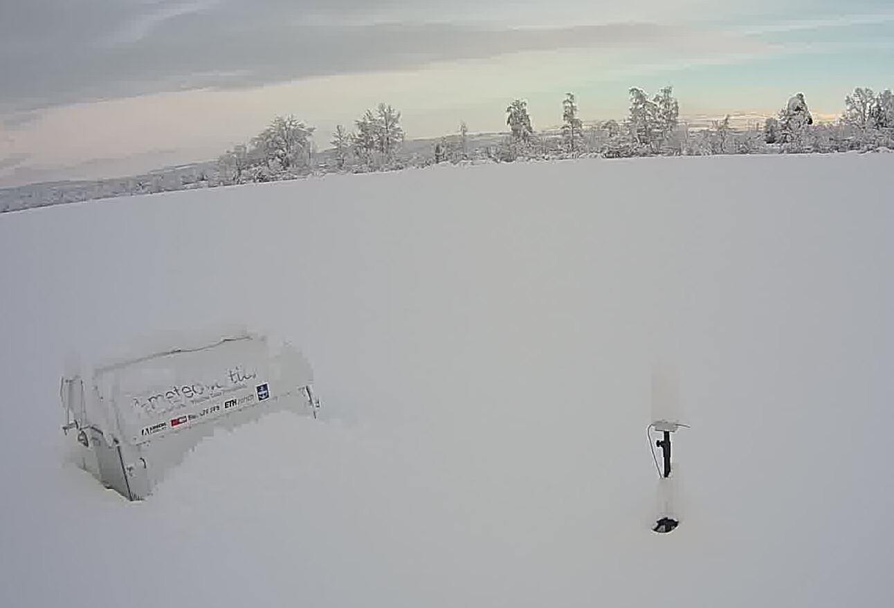
Figure 5 is taken directly from the real-world application and shows the capabilities of the Meteobase to withstand snow during its operation. The image from the surveilling camera shows – once connected to power – the Meteobase regulates its internal climate, enabling it to operate in extremes like snow and heat. Thus, collecting weather data is not limited to certain seasons but is ensured over the full year.

Roll Out of Meteobase Measurement Network
In a one-of-a-kind project together with aeronautical stake holders, Meteomatics plans to roll out their Meteobases at key locations over Switzerland. Starting with locations in eastern and western Switzerland, the whole national area will be covered and data will be collected from 15 sites in total over the next two years. This will increase the data situation massively and will have a huge impact on the forecasting ability.
Besides the demonstrably positive meteorological impact, the project poses an interesting challenge for the aeronautical infrastructure. For the first time, several drones will be controlled by a single pilot. Such a pilot, rather than controlling the drones manually, will monitor the flights. The flights will be fully automatic, including the check of the airspace or the weather. For latter, the operation relies on Meteomatics weather API that seamlessly integrates into the flight control software.
Being able to control and monitor several drones at the same time is not the only requirement on the operation of running a network of automatic drone bases. It also requires a high flexibility to integrate the drone flights into existing or new aeronautical structures. It requires the assessment of risks and the mitigation of such. Luckily, Switzerland and the Swiss FOCA are taking a leading role in drone technology, and more importantly in enabling drone companies and drone operators.
The assimilation of drone data into SWISS1k has started and data are gathered for different locations in Switzerland. The impact can already be seen in the weather models, but remains a local one for only a few stations. With every additional weather drone station, a country wide effect will be visible and changing the future of forecasting for aviation and all people impacted by weather.
Outlook
Results have shown that weather drones, like the Meteodrone, can have a huge impact on forecasting abilities, improving on forecast quality especially in the area of fog, thunderstorms and low clouds. For running weather drones cost-efficiently, they need to be integrable into existing structures and collect data automatically at multiple locations.
The multi-weather-drone project, planned by Meteomatics, foresees a roll-out of 15 Meteobases over the next two years. Switzerland will be the first country that benefits from the drone network, being a pioneer in meteorology and drone technology. However, even as this article is created, other stakeholder in other parts of the world (e.g. the USA) are reaching out to, hoping for Meteomatics to help solving their weather challenges. Stay tuned for updates in upcoming issues.

Talk to an Expert
Related Articles


We provide the most accurate weather data for any location, at any time, to improve your business.


