Cartographic Material
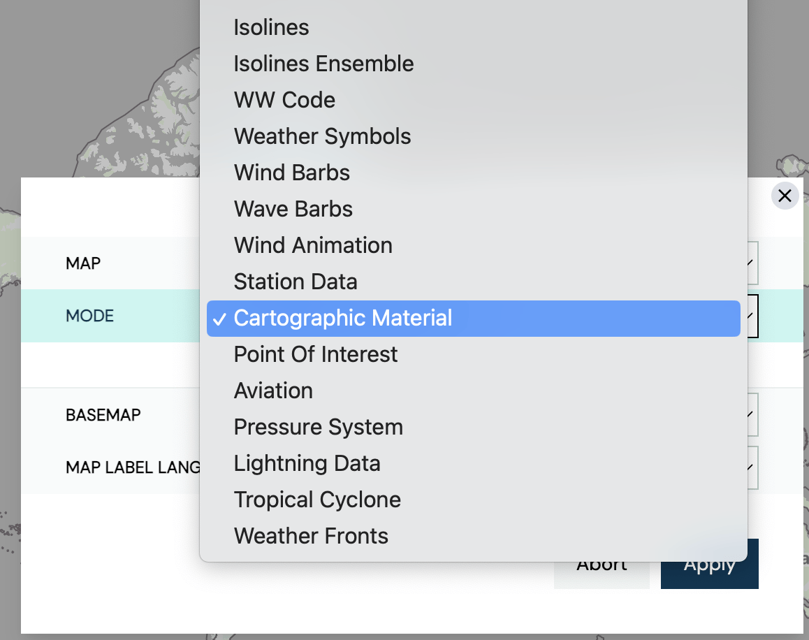
In MetX, a variety of different underlying maps can be selected. To add different maps select ”Add Layer”. In the ”Mode” section, select ”Cartographic Material”.

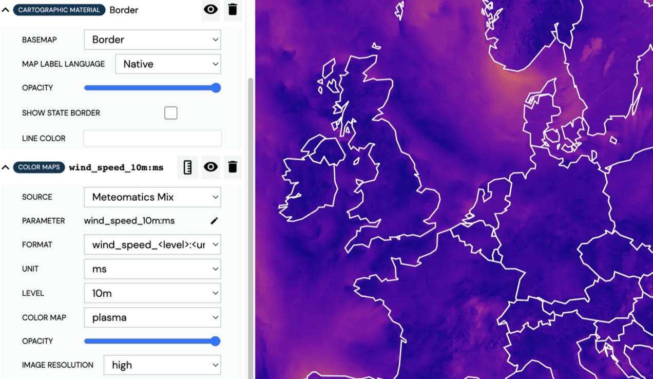
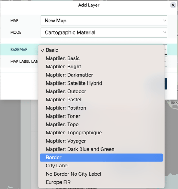
When selecting the ”Cartographic Material”, another option called ”Basemap” will appear and it contains different underlying maps. Borders and city labels can also be added, to make the location clearer when using colour maps. The map label language can be changed to the native language of the location. The border color can be changed in the Layer Stack.

An example of colored borders above a wind speed map is shown below: