QGIS
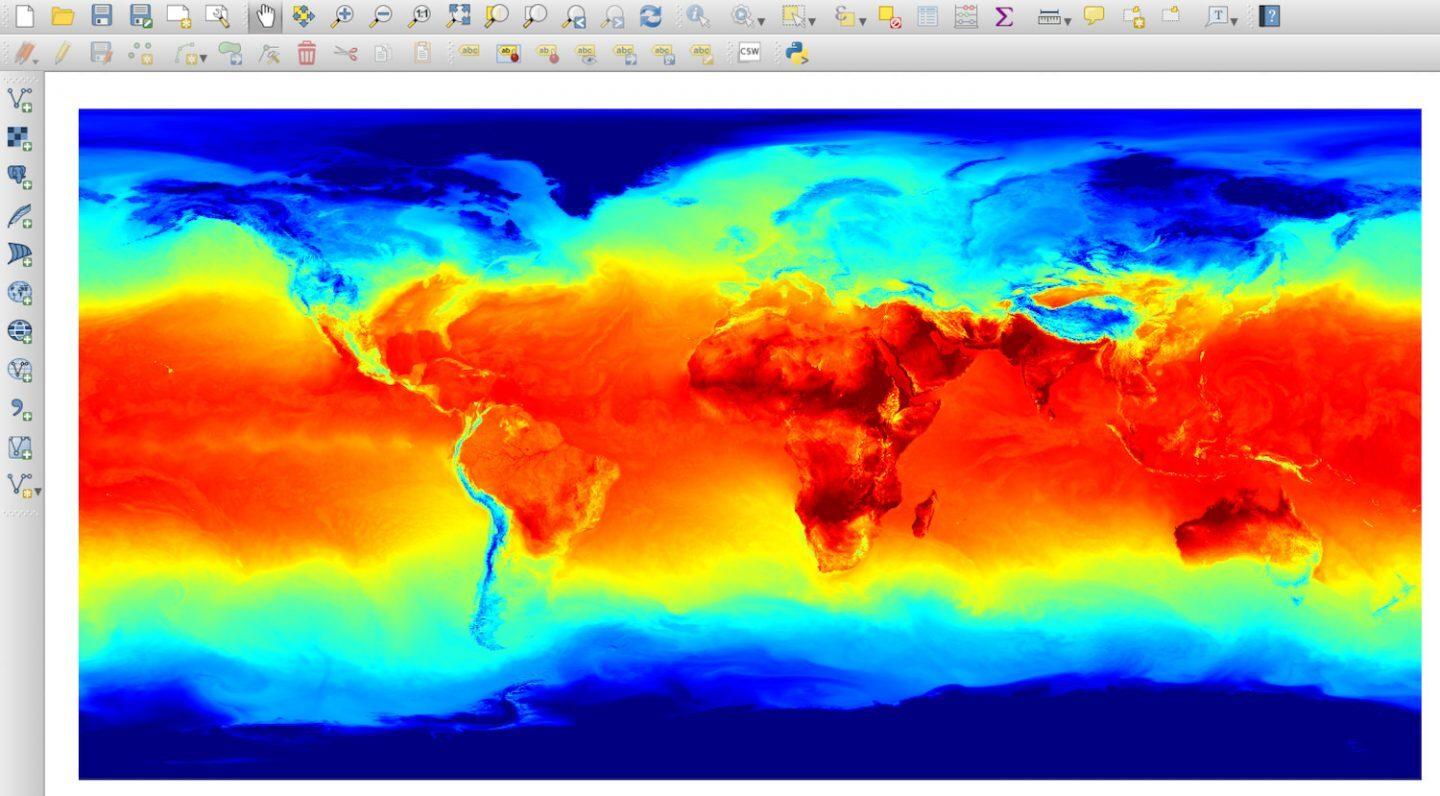
QGIS is a widely used open source GIS tool. Thanks to WMS and WFS capability, arbitrary data layers can be easily integrated into QGIS. For instance, the following example shows air temperature globally. Of course, as with every other connector, you can also access all the other parameters featured by the Meteomatics API, e.g. short-term forecasts (nowcasts) in 5-minutes resolution.
Please refer to QGIS (WMS) or QGIS (WFS) for further instructions on how to use our API in QGIS.